
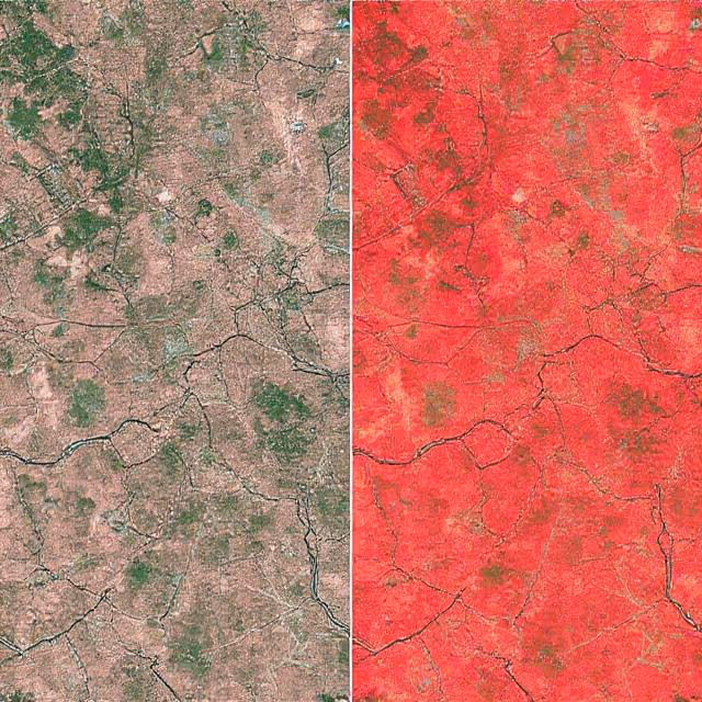
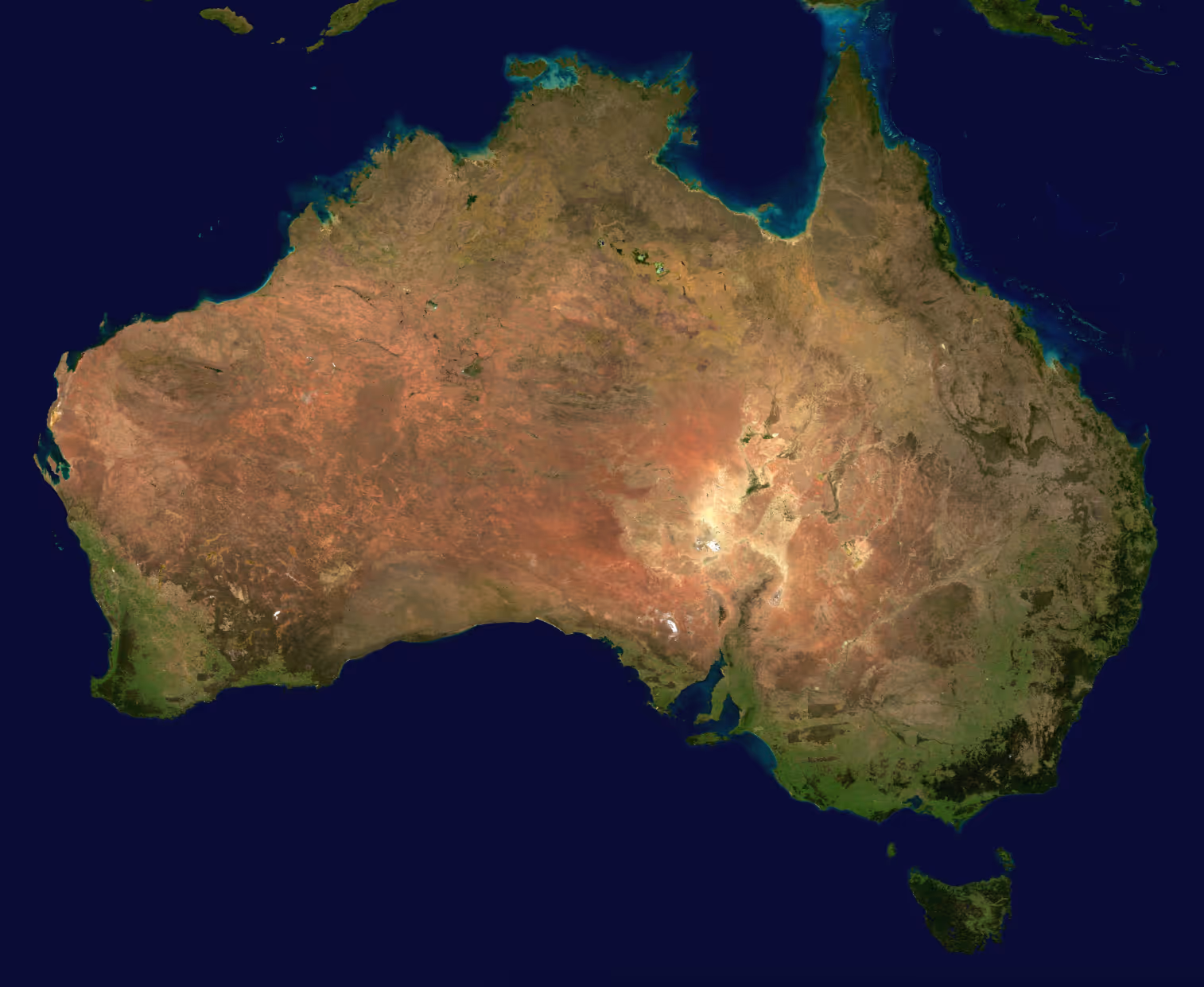
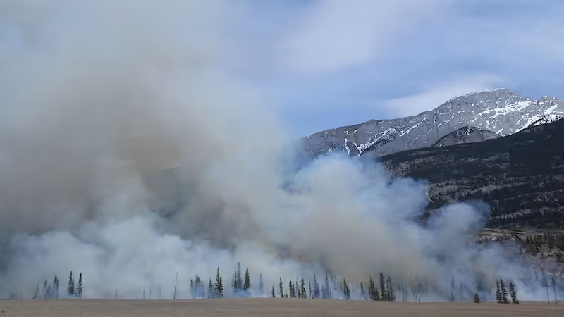
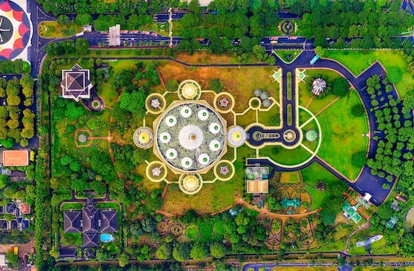
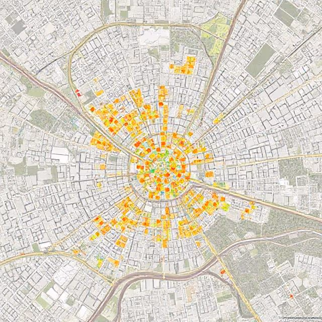
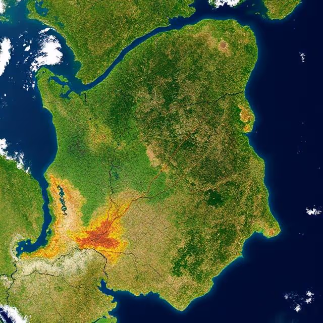
Satellite
Annotated satellite imagery enables AI systems to analyze large scale geographic and environmental data. Topics include object detection, land use labeling, change detection, and training data for satellite based computer vision applications.


Discover How Our Process Works

Defining Project
Sampling & Calibration
Annotation
Review & Assurance
Delivery
Custom service offering
Up to 10x Faster
Accelerate your AI training with high-speed annotation workflows that outperform traditional processes.
AI-Assisted
Seamless integration of manual expertise and automated precision for superior annotation quality.
Advanced QA
Tailor-made quality control protocols to ensure error-free annotations on a per-project basis.
Highly-specialized
Work with industry-trained annotators who bring domain-specific knowledge to every dataset.
Ethical Outsourcing
Fair working conditions and transparent processes to ensure responsible and high-quality data labeling.
Proven Expertise
A track record of success across multiple industries, delivering reliable and effective AI training data.
Scalable Solutions
Tailored workflows designed to scale with your project’s needs, from small datasets to enterprise-level AI models.
Global Team
A worldwide network of skilled annotators and AI specialists dedicated to precision and excellence.
Potential Today
We are here to assist in providing high-quality data annotation services and improve your AI's performances

FAQs
Here are some common questions we receive from our clients to assist you.
What can I find in DataVLab’s resources?
Our resources cover practical topics related to data annotation, dataset quality, AI training data, computer vision, medical annotation, geospatial annotation, and industry-specific AI use cases. The goal is to help teams better understand how to prepare, structure, and improve datasets for machine learning projects.
Who are these articles written for?
Our articles are written for AI teams, product managers, data scientists, founders, and operations teams who need to understand data annotation workflows without getting lost in unnecessary complexity. Some guides are introductory, while others go deeper into quality control, taxonomy design, and project setup.
How can these resources help me plan an annotation project?
They can help you clarify the type of annotation you need, define your labeling taxonomy, estimate complexity, choose the right output format, and avoid common quality issues before launching a project.
Do you cover industry-specific annotation use cases?
Yes. We publish resources on sectors such as healthcare, agriculture, retail, insurance, satellite imagery, drones, security cameras, autonomous systems, and other computer vision applications.
Can DataVLab help if I need support beyond the articles?
Yes. If you are planning an annotation project, DataVLab can help with dataset preparation, annotation guidelines, labeling workflows, quality assurance, and delivery in formats adapted to your machine learning pipeline.