Why Land Cover Classification Matters
Land cover classification is more than an academic exercise—it’s a linchpin in our ability to understand, monitor, and manage the Earth's surface. From governments to agribusinesses, from conservationists to insurance providers, stakeholders across sectors rely on accurate, up-to-date land cover data to drive decisions that have environmental, economic, and humanitarian consequences.
Here’s why land cover classification powered by AI is indispensable in today’s data-driven world:
🛡️ Climate Resilience and Environmental Protection
Accurate land cover maps are essential for assessing carbon sinks, deforestation rates, and ecosystem health. Forests, wetlands, and grasslands play critical roles in absorbing CO₂, regulating local climates, and preserving biodiversity. With satellite-driven classification, environmental agencies can monitor deforestation in near real-time, detect illegal logging, and enforce reforestation policies with precision.
🌱 Example: The UN-REDD Programme uses land cover classifications to support countries in reducing emissions from deforestation and forest degradation.
🏙️ Sustainable Urban Development
Cities are expanding rapidly, often in unregulated or poorly mapped regions. AI-enhanced land cover classification helps urban planners detect impervious surfaces, monitor sprawl, and allocate resources for infrastructure, green spaces, and transportation.
📊 Accurate classification supports Smart City initiatives, flood risk mapping in urban zones, and environmental impact assessments for new development projects.
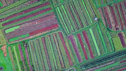
🌾 Agricultural Optimization and Food Security
Agricultural planners need to know what’s growing, where, and when. With annotated land cover data, AI models can classify fields, predict yields, monitor crop health, and even differentiate between crop types. This empowers:
- Ministries of Agriculture for policy-making and subsidies
- NGOs for food aid planning
- Precision farming tools for optimizing irrigation and pesticide use
🌍 Platforms like GEOGLAM rely on satellite-based land cover monitoring to assess global crop conditions.
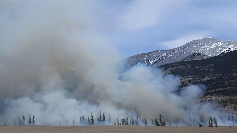
🌊 Disaster Preparedness and Recovery
When natural disasters like floods, wildfires, or hurricanes strike, rapid access to post-event land cover maps is crucial. AI models trained on annotated imagery help emergency teams:
- Identify damaged infrastructure
- Estimate loss of vegetation or agricultural areas
- Plan evacuation routes and relief supply chains
⚡ Real-world use: Organizations like UNOSAT use rapid AI-driven classification to support humanitarian operations globally.
📈 Economic Modeling and Land Valuation
Governments and financial institutions use land cover data for taxation, investment planning, and land valuation. For instance, knowing the expansion of urbanized zones or degradation of farmland helps estimate long-term returns on real estate or agribusiness ventures.
🏦 Investors in infrastructure, renewable energy, or agritech rely on accurate land cover classifications to assess feasibility and environmental impact.
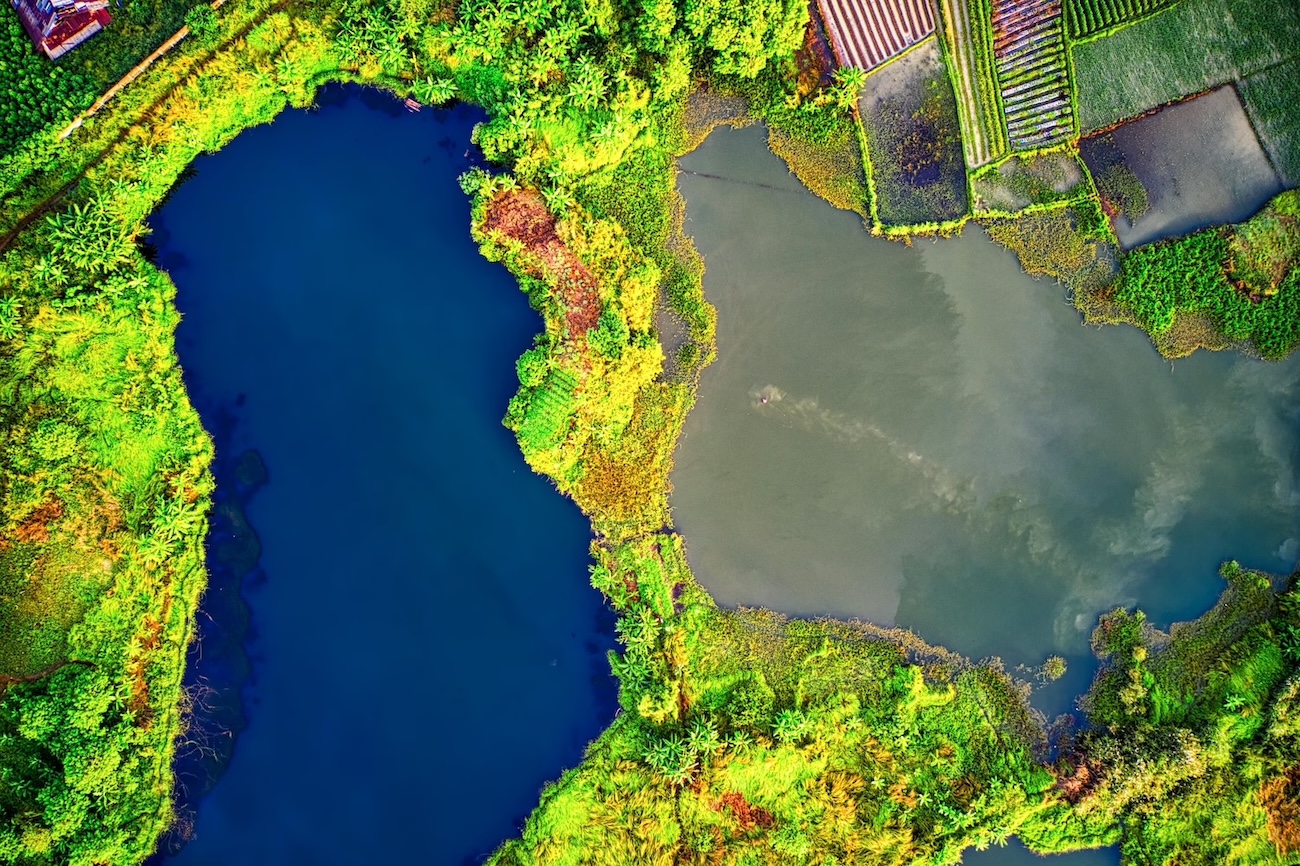
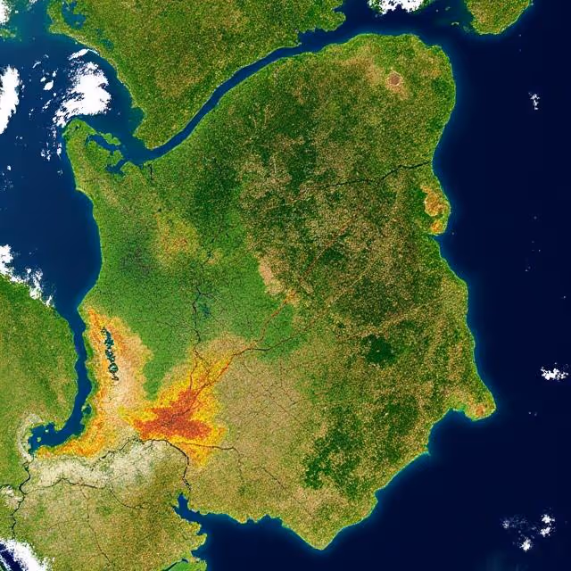
The Unique Nature of Remote Sensing Data
Land cover classification relies heavily on Earth observation data, particularly from sources like:
- Sentinel-2 (Copernicus Program)
- Landsat series (NASA/USGS)
- PlanetScope (Planet Labs)
- MODIS (NASA)
- WorldView (Maxar Technologies)
These images are captured across different spectral bands—visible, near-infrared, and sometimes thermal. This diversity allows AI to distinguish between materials (like distinguishing vegetation from concrete), but it also introduces complexity when annotating and training models.
Key challenges include:
- Spectral overlap (e.g., wetlands vs. crops in NIR)
- Spatial resolution discrepancies
- Cloud cover and atmospheric noise
- Temporal inconsistency in datasets
Working with satellite imagery means dealing with data that is rich, but noisy, varied, and context-dependent. Annotating this data for AI requires more than bounding boxes—it requires a deep understanding of geography, ecology, and sensor-specific nuances.
Challenges of Annotating Land Cover Data for AI
Let’s explore what makes annotating land cover data particularly challenging, especially at the scale needed for deep learning:
1. Semantic Ambiguity in Class Labels
In theory, “forest” vs. “shrubland” seems straightforward. In practice, boundaries are blurred. Land transitions naturally. A dense shrubland can resemble a degraded forest, and seasonality adds another layer of confusion.
✅ Pro tip: Use expert-guided hierarchical taxonomies (e.g., from the FAO’s Land Cover Classification System) and leverage continuous labels where needed.
2. Annotator Expertise and Training
Unlike simpler annotation tasks (like object detection in street scenes), land cover labeling demands geospatial literacy. Annotators must recognize subtle patterns in multispectral imagery and understand regional land use.
This often means sourcing annotators with backgrounds in GIS, environmental science, or remote sensing—raising costs and limiting scalability.
3. Spatial and Temporal Variability
A location’s appearance can change dramatically between seasons (e.g., bare agricultural fields in winter vs. green crops in spring) or between sensors (Landsat vs. Sentinel). Static annotation is therefore limiting.
🌦️ Solution: Use multi-temporal annotations and consider time series modeling to handle seasonal cycles. This ensures your AI models learn context-aware classifications.
4. Inconsistent Labeling Standards
Different annotation projects may use varying class definitions or region boundaries. When aggregating datasets (e.g., for pretraining large-scale models), these inconsistencies reduce model generalizability.
📌 Tip: Stick to globally recognized standards like LCMAP or CORINE.
5. Cloud Obstruction and Sensor Noise
Especially in tropical or mountainous regions, cloud cover can obscure parts of the image. AI models trained on incomplete or misannotated data may generalize poorly.
🛠️ Fix: Combine multiple passes (temporal mosaics) or use cloud-masked composites like those generated in Google Earth Engine.
Advanced Annotation Methods Used in Land Cover Classification
To counter these challenges, the annotation process must be adapted with domain-specific strategies that go beyond simple polygon drawing:
Multi-resolution Label Fusion
Combine annotations from high-resolution data (like drone imagery or WorldView-3) with lower-resolution satellite datasets to improve label accuracy without overextending labeling budgets.
Spectral Signature-Based Pre-annotation
Use clustering or unsupervised techniques to group pixels with similar spectral signatures. These can serve as pseudo-labels that are later verified by human experts—saving time and improving consistency.
🧠 Example: K-means clustering on NDVI + SWIR bands to group vegetation types before manual review.
Active Learning for Annotator Guidance
Rather than annotating uniformly, AI models can flag areas of high uncertainty (e.g., transition zones, mixed pixels) for focused human annotation. This maximizes labeling efficiency and enhances model robustness.
Collaborative Verification and Voting
Some teams implement consensus-based annotations, where multiple experts annotate the same region and agree on a final class. This is especially valuable for edge cases and ambiguous classes.
When AI Assists the Annotators
AI isn’t just the end user—it’s also a tool in the annotation process. Here’s how machine learning can accelerate high-quality labeling in remote sensing:
- Pre-trained models on open datasets (e.g., DeepGlobe, SpaceNet) can generate initial annotations.
- Transfer learning allows fine-tuning on local or regional imagery with just a few new annotations.
- Semantic segmentation models like U-Net, DeepLabV3+, or SegFormer can suggest pixel-level masks that are reviewed by experts.
🛰️ Use Case: Annotate a new region in Sub-Saharan Africa by leveraging a model fine-tuned on labeled East African savannas—then validate with local experts.
Real-World Use Cases of AI in Land Cover Classification
Urban Sprawl Monitoring in Southeast Asia
By training AI models on annotated Sentinel-2 imagery, urban planners can track the rapid expansion of megacities like Jakarta and Ho Chi Minh City. The insights help optimize infrastructure investment and zoning policies.
Forest Degradation Mapping in the Amazon
AI-powered classification is used to detect illegal logging, small-scale deforestation, and changes in canopy density. Models trained on labeled Landsat and PlanetScope imagery are crucial in supporting conservation and enforcement.
🌿 Explore: Global Forest Watch
Agricultural Land Use in Sub-Saharan Africa
Governments and NGOs use annotated land cover data to assess arable land, identify fallow fields, and plan crop rotation strategies. Multi-temporal satellite annotation enables AI to distinguish seasonal crops from permanent vegetation.
📈 Example: Integrate with FAO’s Hand-in-Hand geospatial platform.
Disaster Response in Flood-Prone Areas
After a flood, AI models classify updated land cover (e.g., waterlogged areas, destroyed infrastructure) from Sentinel-1 radar and Sentinel-2 imagery. This data is vital for resource deployment and rehabilitation planning.
Bringing It All Together: What Makes AI Models Work?
Despite the incredible promise of AI in land cover classification, building models that work reliably across geographies, seasons, and use cases is no small feat. Success comes down to a combination of data quality, methodological rigor, and iterative collaboration between humans and machines.
Let’s break down what makes a land cover classification AI model truly successful:
1. 📊 High-Quality, Geospatially Accurate Annotations
At the heart of any AI system lies its training data. For land cover classification, this means:
- Spatial accuracy: Are the labeled regions precisely aligned with the real-world features they represent?
- Semantic consistency: Are the class definitions applied uniformly across annotators, geographies, and timeframes?
- Sufficient diversity: Does the dataset cover enough variations in climate, terrain, seasonality, and sensor type?
The more consistent and comprehensive your annotations, the more robust your model. This is why many leading projects rely on human-in-the-loop systems where machine-generated suggestions are continuously corrected by domain experts.
🧭 Best practice: Use imagery from multiple sensors (e.g., Sentinel-2 + Landsat 8) and annotate across seasons to capture variability.
2. 🔁 Feedback Loops and Iterative Refinement
One-off training isn’t enough. Real-world geospatial AI requires continuous learning.
- Model predictions should feed back into the annotation process to highlight areas of high uncertainty or misclassification.
- Retraining cycles should occur as new annotated data becomes available or environmental patterns shift (e.g., urban expansion, seasonal floods).
- Error analysis should guide where additional annotations are needed—whether it's a new class, region, or time slice.
🌍 For example, an AI model that performs well in temperate forests might struggle in equatorial jungles unless retrained on domain-specific data. A proactive feedback loop prevents such generalization issues.
3. ⚙️ Scalable Infrastructure and Interoperability
Land cover classification models often require processing terabytes of geospatial data across time and space. Robust pipelines are needed to manage:
- Storage of satellite imagery
- Processing of multi-band spectral data
- Versioning of annotations and model outputs
- Interoperability between platforms like Google Earth Engine, QGIS, and Python-based frameworks (e.g., Rasterio, PyTorch)
Organizations that invest in scalable, cloud-native AI workflows (such as those built on AWS or GCP) are better positioned to expand their land cover monitoring programs globally.
4. 👥 Human Expertise Embedded in the Loop
Even with advanced models, human validation is irreplaceable. Local knowledge—like recognizing regional land use patterns, understanding vegetation cycles, or accounting for policy-driven land shifts—adds critical nuance to AI predictions.
This human-AI synergy includes:
- Domain experts validating training data
- Annotators prioritizing edge cases and boundary zones
- Policy-makers interpreting model outputs for decision-making
🧑🏫 Use Case: A forestry NGO in Indonesia fine-tunes AI predictions of illegal logging using insights from community forest rangers on the ground.
5. 🧠 Transferability and Generalization
Finally, the best land cover classification models are not limited to one region or sensor. Instead, they generalize across:
- Geographies (e.g., from Europe to Africa)
- Sensors (Sentinel-2, PlanetScope, Landsat)
- Seasons (dry, rainy, snowy)
This requires rigorous cross-validation, domain adaptation techniques, and robust metadata labeling.
📚 Helpful resource: Read about domain adaptation in remote sensing to understand how models can learn from one domain and perform well in another.
Let’s Elevate Earth Understanding Together 🌍
Land cover classification isn't just about maps—it’s about impact. Whether you're building climate resilience, managing agricultural land, or protecting forests, annotated data is your foundation.
If you're looking to accelerate your remote sensing AI pipeline with high-quality annotated imagery, talk to the team at DataVLab and discover how expert-led labeling can unlock insights at scale.
📌 Related: Satellite Image Annotation for AI: An Introduction to Techniques and Use Cases
📬 Questions or projects in mind? Contact us