Sovereign Data Annotation for European Defense and Aerospace AI
European defense and aerospace AI programs require sovereign annotation workflows that meet the most demanding security, traceability, and compliance standards. From ISR (Intelligence, Surveillance, Reconnaissance) and satellite imagery analysis to UAV detection, threat classification, and LLM evaluation for defense applications, AI teams need labeled datasets produced by vetted, EU-based annotators operating within strict security protocols.
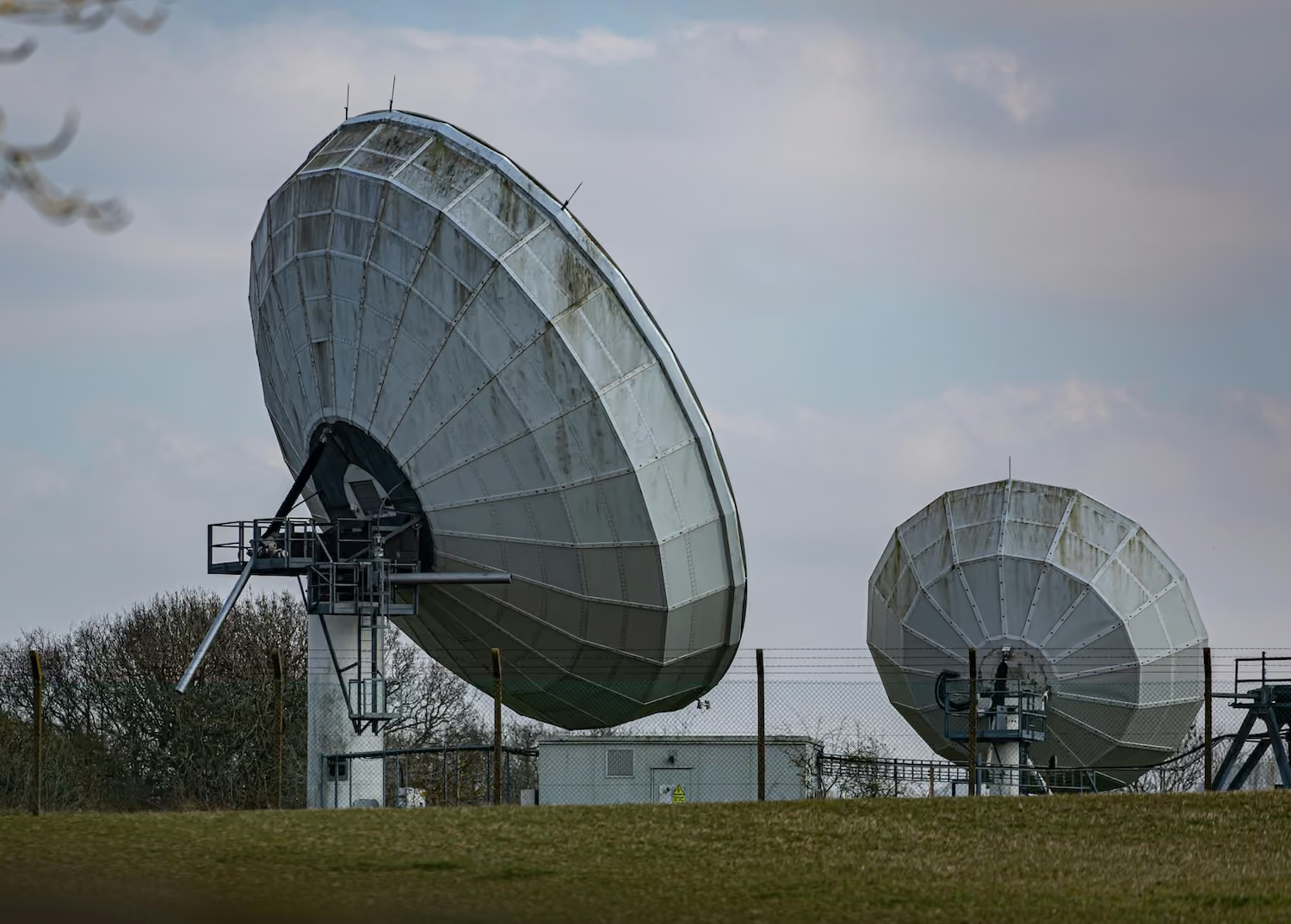
DataVLab provides specialized data annotation services for European defense, aerospace, and dual-use AI programs. We support computer vision tasks across satellite, drone, EO/IR, radar, and multi-sensor data, as well as text annotation for OSINT, NLP for tactical communications, and LLM evaluation for sovereign AI systems. Our workflows are built around sovereign annotator teams, secured infrastructure, NDA-bound personnel, and full audit trails.
We offer our annotation services to European defense primes, mid-tier suppliers, defense-tech startups, national research labs (ONERA, DGA, Fraunhofer FKIE, TNO), and EU institutional programs (EDA, EDF). Whether you are training perception models for autonomous systems, building geospatial intelligence pipelines, evaluating sovereign LLMs for sensitive use cases, or preparing datasets for defense-grade computer vision, our team delivers consistent quality with European data residency and the operational discipline that defense programs require.

Satellite & Geospatial Intelligence Annotation
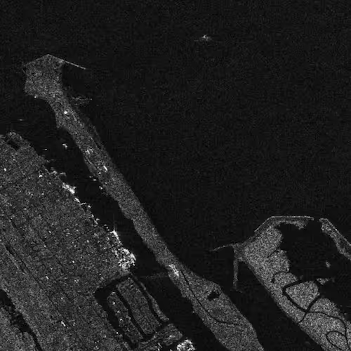
Pixel-level segmentation, object detection, and change detection on optical, SAR, and multispectral satellite imagery for ISR, OSINT, force monitoring, and strategic intelligence applications across European areas of interest.
UAV & Drone Detection Annotation
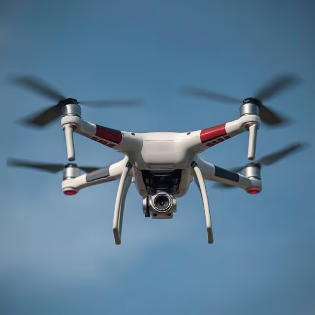
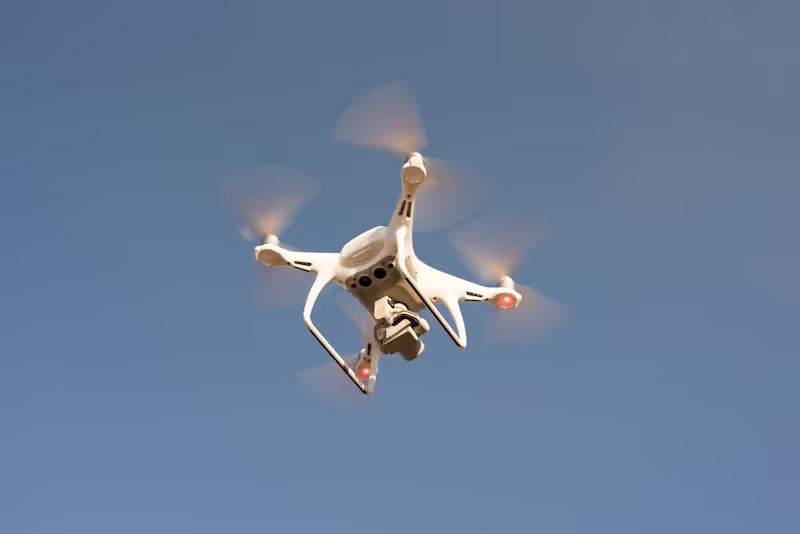
Bounding box, classification, and tracking annotation for UAV and counter-UAV systems, including small-drone signatures, swarm behavior labeling, and threat classification for airspace surveillance and base protection programs.
EO/IR Sensor Fusion & Multi-Modal Annotation
Aligned annotation across electro-optical, infrared, radar, and acoustic sensors to support sensor fusion models for ISR platforms, naval systems, ground vehicles, and persistent surveillance use cases.
Maritime & Naval Surveillance
Vessel detection, classification, dark-vessel identification, and behavioral pattern annotation on satellite, AIS-correlated, and aerial imagery for maritime domain awareness and EU coastal security programs.
LLM Evaluation for Sovereign Defense AI
Red teaming, hallucination detection, factuality scoring, and adversarial testing for sovereign LLMs deployed in defense, intelligence, and dual-use contexts. Evaluation by EU-based domain reviewers with appropriate clearance posture.
Threat Detection & OSINT Text Annotation
Multilingual entity extraction, sentiment classification, and event detection for OSINT pipelines, threat intelligence platforms, and structured analysis of open-source signals across European languages.


Annotation & Labeling for AI
Unlock the full potential of your AI application with our expert data labeling tech. We ensure high-quality annotations that accelerate your project timelines.

Enhance Computer Vision
with Accurate Image Labeling
Precise labeling for computer vision models, including bounding boxes, polygons, and segmentation.

Unleashing the Potential
of Dynamic Data
Frame-by-frame tracking and object recognition for dynamic AI applications.

Building the Next
Dimension of AI
Advanced point cloud and LiDAR annotation for autonomous systems and spatial AI.

Tailored Solutions for Unique Challenges
Tailor-made annotation workflows for unique AI challenges across industries.
NLP & Text Annotation
Get your data labeled in record time.
GenAI & LLM Solutions
Our team is here to assist you anytime.
LLM Evaluation for Defense & Sovereign AI
Sovereign EU LLM evaluation for defense, intelligence, and dual-use AI programs.
Sovereign EU AI Evaluation Services
LLM evaluation, red-teaming, and preference data services that operate entirely within EU jurisdiction. Designed for European AI teams that need sovereign evaluation to match their sovereign AI infrastructure.
Autonomous Flight Data Annotation Services
High accuracy annotation for autonomous flight systems, including drone navigation, airborne perception, obstacle detection, geospatial mapping, and multi sensor fusion.
Satellite Image Annotation Services
High accuracy annotation for satellite imagery across land cover mapping, object detection, agricultural monitoring, and environmental change analysis.
Drone Data Labeling
Multi modality drone data labeling for video, telemetry, LiDAR, and sequence based AI models.
Aerial Image Annotation
High quality annotation of aerial photography for mapping, inspection, agriculture, construction, and environmental analysis.
Surveillance Image Annotation Services
High accuracy annotation for CCTV, security cameras, and surveillance footage to support object detection, behavior analysis, and automated monitoring.
Sensor Fusion Annotation Services
Accurate annotation across LiDAR, camera, radar, and multimodal sensor streams to support fused perception and holistic scene understanding.
We provide high-quality data annotation services and improve your AI's performances

Custom service offering

Up to 10x Faster
Accelerate your AI training with high-speed annotation workflows that outperform traditional processes.

AI-Assisted
Seamless integration of manual expertise and automated precision for superior annotation quality.

Advanced QA
Tailor-made quality control protocols to ensure error-free annotations on a per-project basis.

Highly-specialized
Work with industry-trained annotators who bring domain-specific knowledge to every dataset.

Ethical Outsourcing
Fair working conditions and transparent processes to ensure responsible and high-quality data labeling.

Proven Expertise
A track record of success across multiple industries, delivering reliable and effective AI training data.

Scalable Solutions
Tailored workflows designed to scale with your project’s needs, from small datasets to enterprise-level AI models.

Global Team
A worldwide network of skilled annotators and AI specialists dedicated to precision and excellence.
Potential Today
FAQs
Here are some common questions we receive from our clients to assist you.

What is defense and aerospace AI annotation and what does it cover?
Defense and aerospace AI annotation labels sensor data from military and dual-use platforms so that AI perception systems can support intelligence, surveillance, and reconnaissance (ISR), threat detection, autonomous systems, and situational awareness. It covers satellite and aerial imagery (optical, SAR, multispectral), EO/IR sensor fusion, UAV and counter-UAV detection, maritime surveillance, OSINT text annotation, and LLM evaluation for sovereign defense AI applications. Defense annotation operates under significantly more demanding security, sovereignty, and traceability requirements than commercial annotation.
Why must defense annotation use EU-sovereign annotation services?
Defense annotation for European programs must meet sovereignty requirements that commercial annotation services cannot satisfy. Data processed by US-based annotation services is subject to CLOUD Act extraterritorial access regardless of where it is physically stored. For classified or sensitive defense data, this creates unacceptable sovereignty risk. EU-based annotation services operating on EU infrastructure with vetted, NDA-bound annotators eliminate this exposure. European defense programs increasingly specify EU-sovereign annotation as a procurement requirement, particularly for programs involving classified imagery, sensitive geospatial data, or dual-use AI systems.
What is ISR and satellite imagery annotation for defense programs?
ISR and satellite imagery annotation identifies military and dual-use objects in overhead imagery: vehicle identification (military vehicles, logistics vehicles, construction equipment), facility analysis (production, storage, launch, command), activity detection (construction, loading, mobilization), naval vessel identification, and change detection for facility monitoring over time. This requires annotators with intelligence analysis training to recognize object classes from overhead perspective, where objects appear very differently from their ground-level appearance. DataVLab works with European defense programs on ISR annotation under the sovereignty and confidentiality requirements that defense programs specify.
What is UAV and counter-UAV annotation?
UAV and counter-UAV annotation labels drone signatures for detection, classification, and tracking systems. Small drone detection is particularly demanding: small UAVs may appear as only a few pixels in electro-optical imagery or produce weak radar signatures, requiring annotators trained to identify and locate these objects at the limits of sensor resolution. Swarm behavior labeling captures coordinated multi-UAV patterns that differ from single-drone signatures. For counter-UAV programs, annotation must cover the full threat taxonomy across commercial quadcopters, fixed-wing drones, and custom hostile platforms at various ranges and aspect angles.
How does the EU AI Act apply to defense AI programs?
Defense AI programs under EU AI Act face a specific regulatory situation. The EU AI Act explicitly excludes AI systems used exclusively for national security purposes and AI systems used exclusively for military and defense purposes. However, dual-use AI systems (developed for military applications but also intended for civilian use) may fall within EU AI Act scope depending on their intended purposes. For European defense-tech companies building dual-use products, legal counsel on EU AI Act classification is advisable before designing compliance documentation. DataVLab works with defense program legal teams to understand annotation documentation requirements for each program's specific compliance situation.
What defense annotation use cases does DataVLab support?
DataVLab provides defense and aerospace annotation for ISR and satellite imagery analysis, UAV and counter-UAV detection, EO/IR sensor fusion, maritime domain awareness, geospatial intelligence, OSINT text annotation, and LLM evaluation for sovereign defense AI. We work with European defense primes, defense-tech startups, national research labs, and EU institutional programs including EDA and EDF. All defense annotation programs operate with EU-sovereign workflows, vetted annotators, NDA-bound personnel, and full audit trails. For classified programs, we work within client-specified security infrastructure.
We provide high-quality data annotation services and improve your AI's performances
Blog & Resources
Explore our latest articles and insights on Data Annotation