
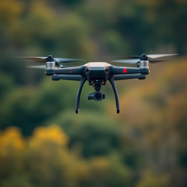
Autonomous Flight Data Annotation Services for Drone Navigation, Aerial Perception, and Safety Systems
Autonomous Flight Data Annotation Services
Built for teams shipping autonomous flight who need reliable labeled documents. You get bounding boxes, segmentation masks, and tracking, stable label guidelines, and QA you can audit, without slowing your roadmap. Autonomous Flight Data Annotation Services is delivered with secure workflows and consistent reporting from pilot to production.
Precise annotation for drone and aircraft perception tasks including navigation and obstacle detection.
Support for multi sensor workflows with RGB, thermal, LiDAR, IMU, and geospatial data.
Structured quality control designed for safety critical and real time flight systems.
Autonomous flight systems depend on precisely labeled data to navigate safely, detect obstacles, avoid collisions, and understand complex aerial environments. High quality annotation is essential for UAVs, UAS platforms, autonomous aircraft prototypes, and drone based inspection solutions.
DataVLab provides autonomous flight data annotation services for drone manufacturers, aviation AI startups, aerial inspection platforms, defense robotics teams, and R&D labs working on autonomous navigation.
Our annotators follow detailed guidelines for airborne object detection, horizon line identification, terrain structure mapping, depth and distance cues, environmental context, and sensor fusion. We support segmentation, bounding boxes, object tracking, geospatial labeling, 3D and depth map annotation, LiDAR point cloud workflows, moving object classification, sky and terrain segmentation, flight corridor detection, and obstacle mapping.
Quality control includes cross frame consistency checks for flight footage, temporal validation for moving objects, geospatial alignment verification, and strict review procedures for safety critical datasets.
How DataVLab Supports Autonomous Flight and Aerial Navigation AI
Annotation workflows adapted to dynamic flight environments and multi sensor perception.

Aerial Object Detection
Bounding boxes and segmentation for airborne and ground objects
We annotate aircraft, drones, birds, buildings, towers, and other obstacles to support sense and avoid systems.
Horizon Line and Terrain Segmentation
Supporting flight stabilization and navigation
We label sky, terrain, horizon lines, and environmental boundaries to help autonomous systems maintain orientation.
Object Tracking in Flight Footage
Temporal annotation across aerial sequences
We track moving objects across multiple frames to support motion prediction and trajectory estimation.
LiDAR and Depth Map Annotation
Supporting 3D perception and obstacle mapping
We annotate 3D point clouds, depth cues, and spatial structures for autonomous flight mapping and navigation.
Thermal and Infrared Annotation
Supporting search, inspection, and low light navigation
We annotate thermal signatures, heat sources, and structural details for UAVs used in inspection and emergency response.
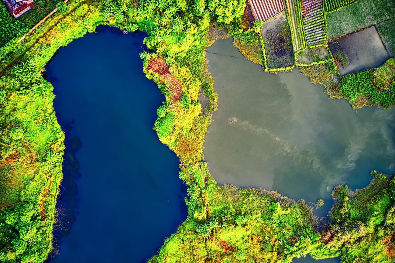
Geospatial AOI and Flight Corridor Labeling
Supporting safe airspace modeling
We annotate geospatial boundaries, flight corridors, no fly zones, and ground structures to support autonomous airspace navigation.
Discover How Our Process Works

Defining Project
Sampling & Calibration
Annotation
Review & Assurance
Delivery
Explore Industry Applications


We provide solutions to different industries, ensuring high-quality annotations tailored to your specific needs.
We provide high-quality annotation services to improve your AI's performances

Annotation & Labeling for AI
Unlock the full potential of your AI application with our expert data labeling tech. We ensure high-quality annotations that accelerate your project timelines.
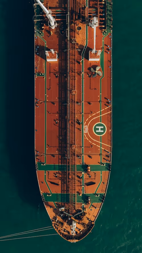
Drone Data Labeling
Multi modality drone data labeling for video, telemetry, LiDAR, and sequence based AI models.
Drone Image Annotation
High accuracy annotation of drone captured images for inspection, construction, agriculture, security, and environmental applications.
ADAS and Autonomous Driving Annotation Services
High accuracy annotation for autonomous driving, ADAS perception models, vehicle safety systems, and multimodal sensor datasets.
3D Annotation Services
3D annotation services for LiDAR, point clouds, depth maps, and multimodal sensor fusion data. DataVLab delivers 3D cuboids, point cloud segmentation, drivable area labels, and object tracking for robotics, autonomous mobility, geospatial, and industrial AI.


Custom service offering
Up to 10x Faster
Accelerate your AI training with high-speed annotation workflows that outperform traditional processes.
AI-Assisted
Seamless integration of manual expertise and automated precision for superior annotation quality.
Advanced QA
Tailor-made quality control protocols to ensure error-free annotations on a per-project basis.
Highly-specialized
Work with industry-trained annotators who bring domain-specific knowledge to every dataset.
Ethical Outsourcing
Fair working conditions and transparent processes to ensure responsible and high-quality data labeling.
Proven Expertise
A track record of success across multiple industries, delivering reliable and effective AI training data.
Scalable Solutions
Tailored workflows designed to scale with your project’s needs, from small datasets to enterprise-level AI models.
Global Team
A worldwide network of skilled annotators and AI specialists dedicated to precision and excellence.
Potential Today
Blog & Resources
Explore our latest articles and insights on Data Annotation


We are here to assist in providing high-quality data annotation services and improve your AI's performances