
Aerial Image Annotation
Aerial Image Annotation
Built for teams shipping aerial computer vision who need reliable labeled documents. You get segmentation masks, polygons, and classification labels, stable label guidelines, and QA you can audit, without slowing your roadmap. Aerial Image Annotation is delivered with secure workflows and consistent reporting from pilot to production.
Precise segmentation and object annotation tailored to aerial perspectives and geospatial datasets.
Consistent labeling of land features, infrastructure, and vegetation across large regions.
Scalable annotation workflows with multi stage quality review for long and complex datasets.
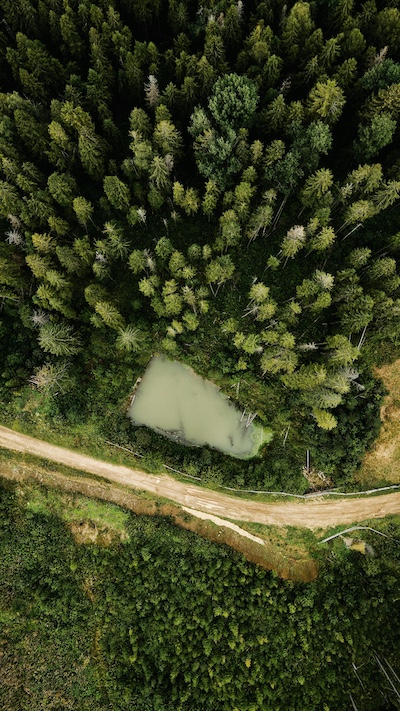
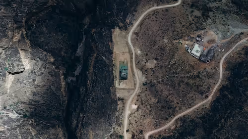
Aerial images provide a unique perspective for understanding land use, infrastructure, vegetation, and environmental change. To train reliable computer vision models for these tasks, datasets must be annotated with a high degree of precision and consistency. Even small labeling inconsistencies can lead to unstable predictions once models are deployed.
DataVLab supports organizations working with aerial photos captured by drones, aircraft, or imaging platforms. We annotate objects, terrain features, man made structures, and environmental patterns with structured taxonomies designed for geospatial needs. Our workflows account for variations in altitude, angle, lighting, and geographic context.
Whether teams are building land classification models, construction monitoring systems, agricultural analysis tools, or large scale mapping pipelines, high quality annotation is essential for model accuracy. We combine trained annotators with multi level quality checks to ensure that each polygon, mask, or class is applied consistently across the dataset.
Aerial image annotation requires more than simple object labeling. Understanding boundary precision, geographic relationships, and changes across time plays a central role in how models interpret aerial content. Our team supports these requirements through clear guidelines, stable processes, and consistent reviewer feedback.
Examples of Aerial Image Annotation Workflows
Our team supports a wide range of annotation needs for geospatial, agricultural, and construction applications.

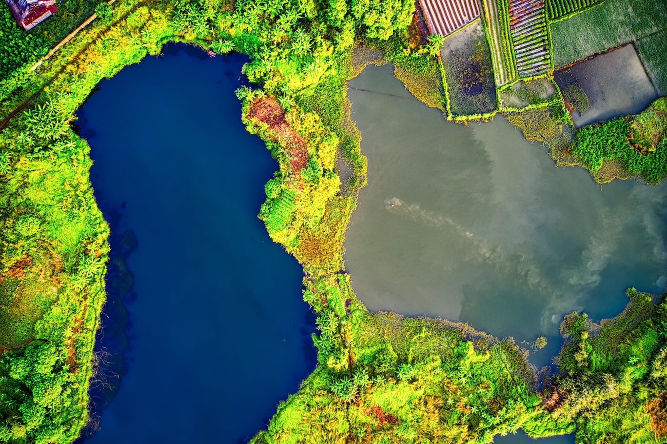
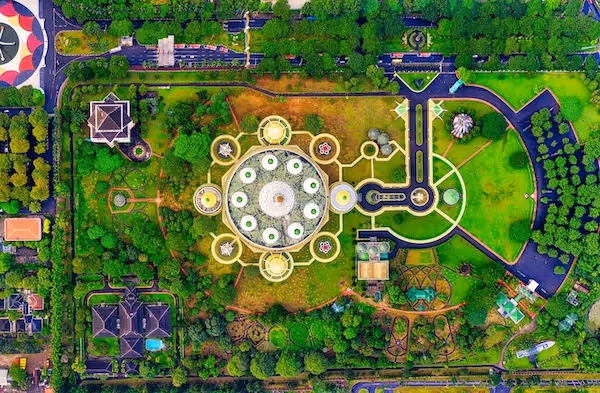
Land Use and Land Cover Annotation
Identifying terrain and environmental features
We annotate land types such as vegetation, water, soil, roads, and urban areas to support geospatial analysis and environmental monitoring.
Infrastructure and Asset Identification
Mapping man made structures
We label buildings, roads, rooftops, bridges, and utility infrastructure to support planning, inspection, and mapping projects.
Agricultural Field and Crop Annotation
Understanding vegetation patterns
We annotate parcels, field boundaries, crop zones, and growth patterns to support agricultural analytics and yield prediction.
Construction Site Monitoring
Tracking progress and site activity
We label equipment, materials, site boundaries, and structural changes across aerial updates to support project monitoring workflows.
Environmental Change Detection
Identifying shifts over time
We annotate images captured at different dates to highlight erosion, flooding, vegetation change, or urban expansion.
Damage and Condition Assessment
Inspection of assets after events
We label damaged structures, debris, and affected regions to support insurance, disaster response, and infrastructure safety efforts.
Discover How Our Process Works

Defining Project
Sampling & Calibration
Annotation
Review & Assurance
Delivery
Explore Industry Applications


We provide solutions to different industries, ensuring high-quality annotations tailored to your specific needs.
We provide high-quality annotation services to improve your AI's performances

Annotation & Labeling for AI
Unlock the full potential of your AI application with our expert data labeling tech. We ensure high-quality annotations that accelerate your project timelines.
Image Annotation Services
Image annotation services for AI teams building computer vision models. DataVLab supports bounding boxes, polygons, segmentation, keypoints, OCR labeling, and quality-controlled image labeling workflows at scale.
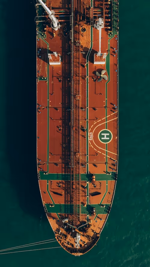
Drone Image Annotation
High accuracy annotation of drone captured images for inspection, construction, agriculture, security, and environmental applications.
Satellite Image Annotation Services
High accuracy annotation for satellite imagery across land cover mapping, object detection, agricultural monitoring, and environmental change analysis.
Geospatial Data Annotation Services
High quality annotation for satellite imagery, aerial imagery, multispectral data, LiDAR surfaces, and GIS datasets used in geospatial and environmental AI.
FAQs
Here are some common questions we receive from our clients to assist you.
What is aerial image annotation and what does it include?
Aerial image annotation labels imagery captured from aircraft, satellites, or high-altitude UAVs so that AI models can learn to detect, classify, and analyze objects and features in overhead imagery. It includes building footprint extraction, road network and transportation infrastructure mapping, vegetation and land cover classification, vehicle and vessel detection, facility and infrastructure annotation, and change detection between multi-temporal images of the same area. Aerial image annotation is used in defense and intelligence, urban planning, environmental monitoring, agriculture, and emergency response applications.
What makes aerial image annotation challenging?
The primary challenge is that the overhead perspective makes objects appear differently from their standard views in ground-level photographs. A vehicle seen from directly above shows only its roof, making make and model identification depend on roof shape and color rather than the full profile. A building seen from above shows only the roof structure and footprint, making type identification depend on roof form, arrangement, and context. For defense applications, target identification from satellite or aerial imagery requires specialized training that takes years for human analysts to develop. Annotation guidelines must explicitly define what each class looks like from overhead perspective and provide worked examples at multiple altitudes and resolutions.
What formats do you support for aerial annotation datasets?
Aerial annotation uses geospatial formats that preserve coordinate accuracy. GeoJSON is the standard for vector annotations of detected objects or geographic features. GeoTIFF with associated label rasters is standard for semantic segmentation of aerial scenes. COCO JSON adapted for satellite imagery is used for object detection benchmarks. Shapefile (SHP) format is common in GIS workflows. For change detection, temporally paired GeoTIFF images with change masks are standard. All formats must include proper coordinate reference systems (CRS) and projection information, since the primary value of aerial data is its geographic accuracy. DataVLab delivers aerial annotation with validated CRS alignment and geographic accuracy.
What is defense and intelligence aerial annotation?
Aerial annotation for defense and intelligence applications classifies military and dual-use objects in overhead imagery. This includes vehicle identification (military vehicles, civilian vehicles in military contexts), facility analysis (factory, storage, launch facility, command post), activity detection (construction, loading, mobilization), naval vessel identification, and change detection for facility monitoring. Defense aerial annotation requires annotators with intelligence analysis training, security clearances appropriate to the classification level, controlled processing environments, and annotation schemas aligned with intelligence community standards. DataVLab works with European defense programs on aerial annotation under appropriate sovereignty and classification requirements.
What legal and regulatory considerations apply to aerial imagery annotation?
Commercial satellite imagery used for AI training raises legal and regulatory considerations. Imagery acquired over certain countries or facilities may require export control compliance. In Europe, GDPR applies to satellite imagery that captures identifiable individuals at sufficient resolution. For urban monitoring applications, privacy impact assessments are appropriate for systematic satellite surveillance. DataVLab advises on these considerations for aerial annotation projects and implements appropriate data handling protocols for European programs where regulatory compliance is required.
What aerial annotation services does DataVLab provide?
DataVLab provides aerial image annotation for defense and intelligence, environmental monitoring, urban planning, infrastructure management, disaster response, and commercial Earth observation applications. We annotate RGB, multispectral, hyperspectral, SAR, and panchromatic imagery at resolutions from centimeter (drone/aircraft) to meter (satellite). Services include object detection, semantic segmentation, building footprint extraction, road network mapping, change detection, and vegetation analysis. EU-based annotation teams are available for programs with sovereignty, GDPR, or defense classification requirements.


Custom service offering
Up to 10x Faster
Accelerate your AI training with high-speed annotation workflows that outperform traditional processes.
AI-Assisted
Seamless integration of manual expertise and automated precision for superior annotation quality.
Advanced QA
Tailor-made quality control protocols to ensure error-free annotations on a per-project basis.
Highly-specialized
Work with industry-trained annotators who bring domain-specific knowledge to every dataset.
Ethical Outsourcing
Fair working conditions and transparent processes to ensure responsible and high-quality data labeling.
Proven Expertise
A track record of success across multiple industries, delivering reliable and effective AI training data.
Scalable Solutions
Tailored workflows designed to scale with your project’s needs, from small datasets to enterprise-level AI models.
Global Team
A worldwide network of skilled annotators and AI specialists dedicated to precision and excellence.
Potential Today
Blog & Resources
Explore our latest articles and insights on Data Annotation

We are here to assist in providing high-quality data annotation services and improve your AI's performances