
Satellite Image Annotation Services for Remote Sensing, Land Use Mapping, and Environmental AI

Satellite Image Annotation Services
Built for teams shipping geospatial AI who need reliable labeled documents. You get segmentation masks, polygons, and action labels, stable label guidelines, and QA you can audit, without slowing your roadmap. Satellite Image Annotation Services is delivered with secure workflows and consistent reporting from pilot to production.
High accuracy labeling for high resolution optical, multispectral, and SAR satellite imagery.
Support for land cover mapping, object detection, agricultural segmentation, and change detection.
Scalable workflows to handle large geographic areas and multi temporal imagery.
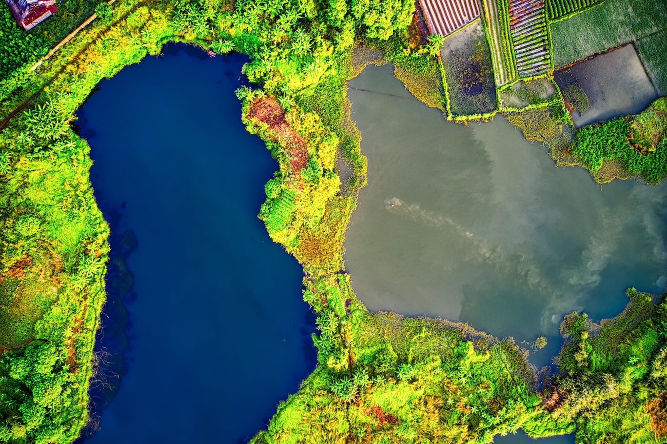
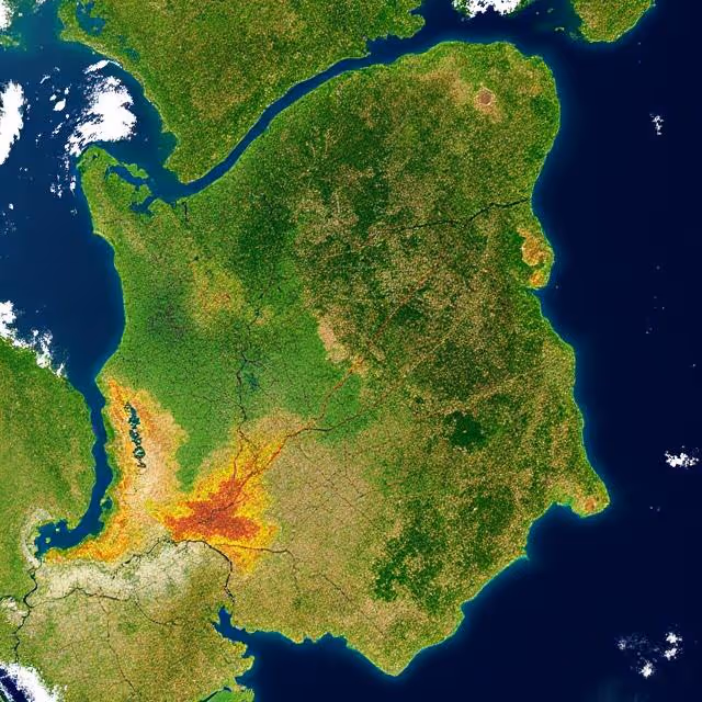
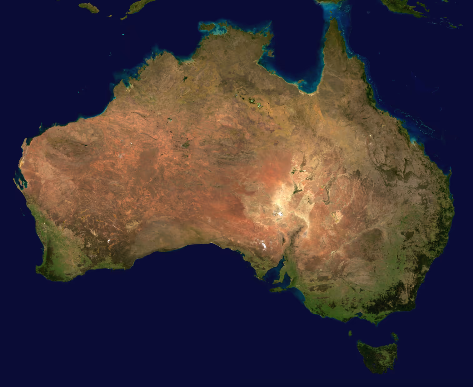
Satellite imagery is one of the most valuable resources for understanding Earth at scale. It provides global coverage and captures land use patterns, environmental changes, agricultural conditions, and infrastructure development.
For AI models to learn from this data, satellite scenes must be accurately annotated with consistent classification schemes and geometric precision. DataVLab provides satellite image annotation services for geospatial analytics companies, environmental monitoring organizations, agritech platforms, energy and utility firms, researchers, and defense applications.
We work with high resolution optical imagery, multispectral scenes, hyperspectral strips, SAR data, and large area mosaics. Our annotation services include land cover classification, land use segmentation, agricultural field delineation, object detection, building and infrastructure mapping, road extraction, flood mapping, wildfire analysis, vegetation classification, environmental change detection, and timeseries labeling.
Quality control includes multi stage review, polygon topology checks, consistency across large scenes, alignment with coordinate reference systems, and validation against your guidelines. Satellite image annotation provides the foundation for AI models that help monitor landscapes, detect changes, forecast agricultural yields, support national mapping, and guide environmental decision making.
How DataVLab Supports Satellite Imagery Analysis and Remote Sensing AI
We annotate large scale satellite datasets using structured workflows and consistent geospatial standards.

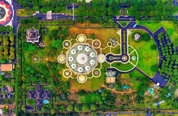
Land Cover and Land Use Segmentation
Polygon labeling for environmental and urban analysis
We classify vegetation, water, urban expansion, bare ground, agricultural zones, and industrial areas.
Building and Structure Detection
Accurate mapping of man made infrastructure
We annotate buildings, rooftops, and construction sites with precise polygons.
Agricultural Field and Crop Area Annotation
Polygon delineation for agritech and food security models
We delineate agricultural fields, orchard blocks, and cultivation zones.
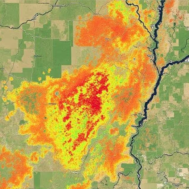
Environmental Change Detection Support
Labeling temporal changes across multi date imagery
We annotate deforestation, flood zones, wildfire burn scars, and infrastructure changes.
Object Detection in Satellite Imagery
Identification of features of interest across wide areas
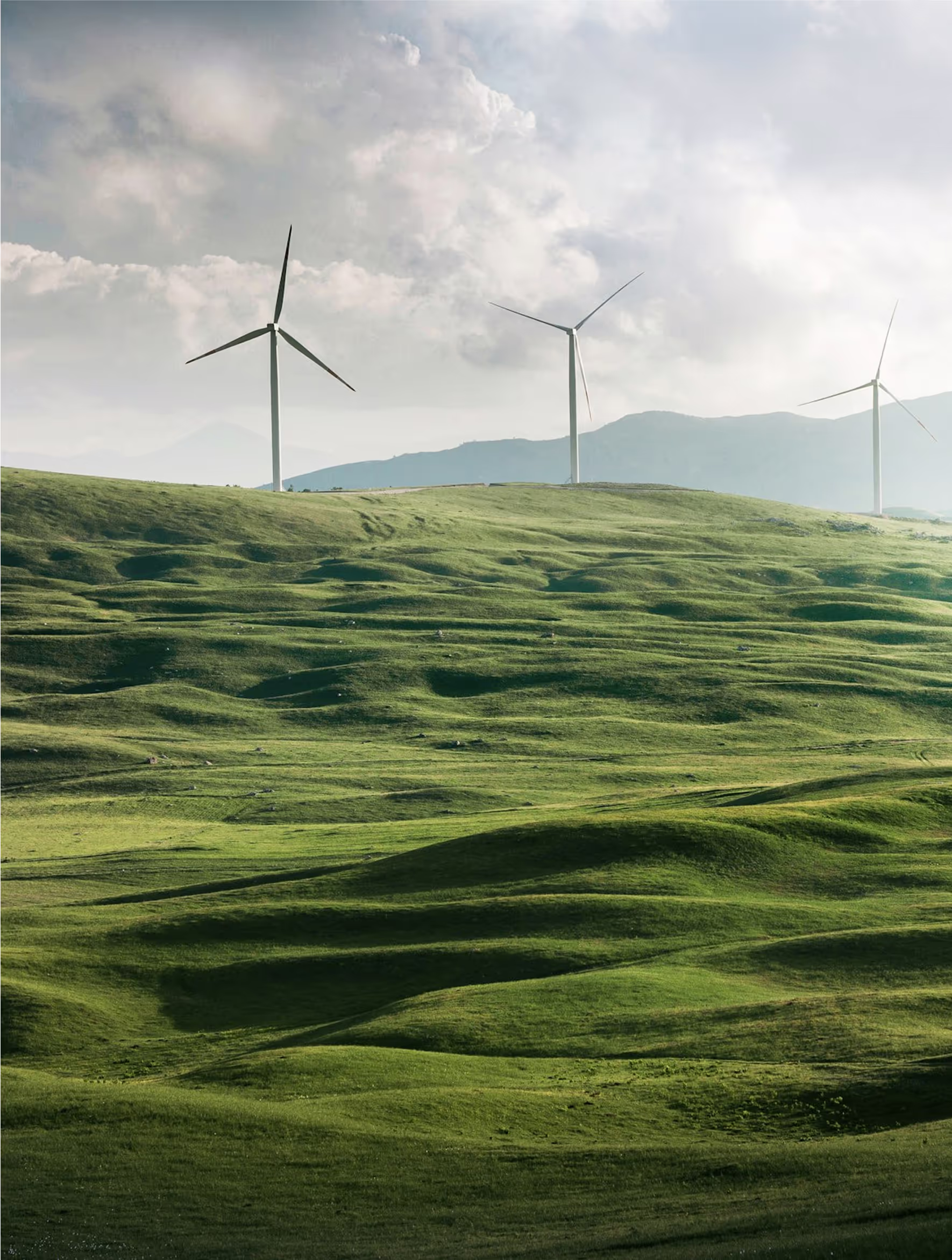
We label vehicles, ships, containers, solar panels, wind turbines, and other small scale objects.
SAR and Multispectral Annotation
Labeling across non optical satellite modalities
We annotate SAR and multispectral imagery to support textural and spectral based models.
Discover How Our Process Works

Defining Project
Sampling & Calibration
Annotation
Review & Assurance
Delivery
Explore Industry Applications

We provide solutions to different industries, ensuring high-quality annotations tailored to your specific needs.
We provide high-quality annotation services to improve your AI's performances

Annotation & Labeling for AI
Unlock the full potential of your AI application with our expert data labeling tech. We ensure high-quality annotations that accelerate your project timelines.
Image Annotation Services
Image annotation services for AI teams building computer vision models. DataVLab supports bounding boxes, polygons, segmentation, keypoints, OCR labeling, and quality-controlled image labeling workflows at scale.
Aerial Image Annotation
High quality annotation of aerial photography for mapping, inspection, agriculture, construction, and environmental analysis.
Geospatial Data Annotation Services
High quality annotation for satellite imagery, aerial imagery, multispectral data, LiDAR surfaces, and GIS datasets used in geospatial and environmental AI.
Map Annotation Services
Accurate annotation for digital maps, GIS layers, boundaries, POIs, road networks, and 2D cartographic datasets.


Custom service offering
Up to 10x Faster
Accelerate your AI training with high-speed annotation workflows that outperform traditional processes.
AI-Assisted
Seamless integration of manual expertise and automated precision for superior annotation quality.
Advanced QA
Tailor-made quality control protocols to ensure error-free annotations on a per-project basis.
Highly-specialized
Work with industry-trained annotators who bring domain-specific knowledge to every dataset.
Ethical Outsourcing
Fair working conditions and transparent processes to ensure responsible and high-quality data labeling.
Proven Expertise
A track record of success across multiple industries, delivering reliable and effective AI training data.
Scalable Solutions
Tailored workflows designed to scale with your project’s needs, from small datasets to enterprise-level AI models.
Global Team
A worldwide network of skilled annotators and AI specialists dedicated to precision and excellence.
Potential Today
Blog & Resources
Explore our latest articles and insights on Data Annotation


We are here to assist in providing high-quality data annotation services and improve your AI's performances