Wildlife & Ecology
Animal detection, ecological monitoring, biodiversity research & environmental conservation

AI and Computer Vision for Wildlife and Ecological Research
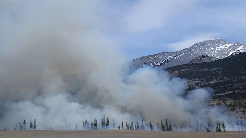
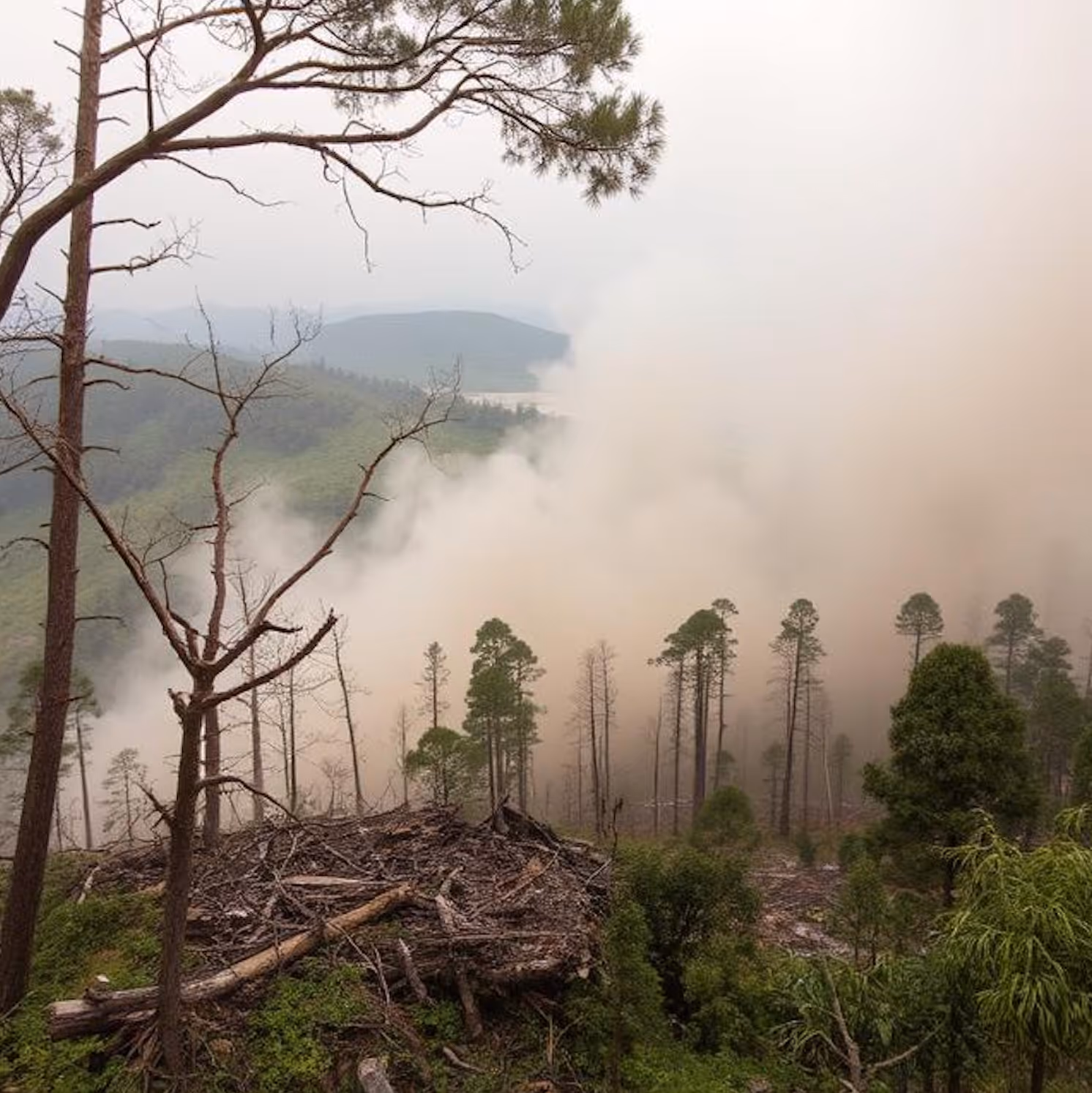
Wildlife researchers, conservation teams, and ecological monitoring organizations rely on AI to better understand animal populations, habitat conditions, and environmental change. Accurate training data supports tasks such as species detection, movement tracking, habitat segmentation, and camera trap analysis. These applications require annotations that remain consistent across lighting variations, dense vegetation, motion blur, and diverse species.
DataVLab provides specialised annotation workflows for wildlife and ecology projects. We label animals, footprints, nests, habitat zones, environmental features, and behavior patterns across still images, videos, aerial imagery, and camera trap data. Our teams work closely with research groups to follow taxonomy guidelines and class hierarchies that match ecological studies.
With reliable and scalable annotation, we help researchers automate population studies, detect rare species, track migration patterns, and monitor ecosystems more efficiently.
Animal Detection and Classification
Bounding boxes and species level labels for birds, mammals, reptiles, and other wildlife across varied environments
Camera Trap Image Annotation
Labeling of animals, noise frames, empty frames, and background elements to support automated camera trap workflows
Habitat and Environmental Segmentation
Segmentation of vegetation, water, ground, trees, and landscape features to support habitat analysis and ecological modeling
Movement and Behavior Tracking
Multi frame tracking for migration analysis, activity classification, and species interaction patterns
Drone Based Wildlife Monitoring
Annotation of aerial images that capture animals, herds, nesting sites, and terrain features for large scale ecological surveys
Conservation and Risk Area Mapping
Labeling of protected zones, human presence, poaching risks, and environmental threats for conservation planning


Annotation & Labeling for AI
Unlock the full potential of your AI application with our expert data labeling tech. We ensure high-quality annotations that accelerate your project timelines.

Enhance Computer Vision
with Accurate Image Labeling
Precise labeling for computer vision models, including bounding boxes, polygons, and segmentation.
Unleashing the Potential
of Dynamic Data
Frame-by-frame tracking and object recognition for dynamic AI applications.

Building the Next
Dimension of AI
Advanced point cloud and LiDAR annotation for autonomous systems and spatial AI.

Tailored Solutions for Unique Challenges
Tailor-made annotation workflows for unique AI challenges across industries.
NLP & Text Annotation
Get your data labeled in record time.
GenAI & LLM Solutions
Our team is here to assist you anytime.
Drone Image Annotation
High accuracy annotation of drone captured images for inspection, construction, agriculture, security, and environmental applications.
Aerial Image Annotation
High quality annotation of aerial photography for mapping, inspection, agriculture, construction, and environmental analysis.
Satellite Image Annotation Services
High accuracy annotation for satellite imagery across land cover mapping, object detection, agricultural monitoring, and environmental change analysis.
Geospatial Data Annotation Services
High quality annotation for satellite imagery, aerial imagery, multispectral data, LiDAR surfaces, and GIS datasets used in geospatial and environmental AI.
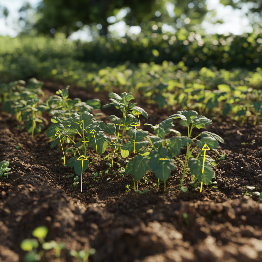
Plant Annotation Services
High precision plant level annotation for leaf segmentation, disease detection, phenotyping, growth analysis, and scientific agriculture datasets.
Object Detection Annotation Services
High quality annotation for object detection models including bounding boxes, labels, attributes, and temporal tracking for images and videos.
Semantic Segmentation Services
High quality semantic segmentation services that provide pixel level masks for medical imaging, robotics, smart cities, agriculture, geospatial AI, and industrial inspection.
We provide high-quality data annotation services and improve your AI's performances

Custom service offering
Up to 10x Faster
Accelerate your AI training with high-speed annotation workflows that outperform traditional processes.
AI-Assisted
Seamless integration of manual expertise and automated precision for superior annotation quality.
Advanced QA
Tailor-made quality control protocols to ensure error-free annotations on a per-project basis.
Highly-specialized
Work with industry-trained annotators who bring domain-specific knowledge to every dataset.
Ethical Outsourcing
Fair working conditions and transparent processes to ensure responsible and high-quality data labeling.
Proven Expertise
A track record of success across multiple industries, delivering reliable and effective AI training data.
Scalable Solutions
Tailored workflows designed to scale with your project’s needs, from small datasets to enterprise-level AI models.
Global Team
A worldwide network of skilled annotators and AI specialists dedicated to precision and excellence.
Potential Today
FAQs
Here are some common questions we receive from our clients to assist you.

What is wildlife and ecology AI annotation?
Wildlife and ecology AI annotation labels visual data from camera traps, drone imagery, satellite imagery, and field cameras so that AI models can support automated species detection, population counting, habitat analysis, behavioral research, and environmental change monitoring. It covers species identification and classification across camera trap footage, animal detection and tracking from drone imagery, habitat and vegetation segmentation, biodiversity mapping from satellite data, and behavioral pattern annotation for ethological research. Wildlife annotation requires zoological and ecological domain expertise because species identification in natural environments requires genuine taxonomic knowledge that general annotators cannot provide.
What makes camera trap annotation particularly challenging?
Camera trap annotation is one of the most challenging wildlife annotation tasks because camera traps capture motion-triggered footage that is predominantly empty (wind-triggered vegetation, lighting changes) with occasional animal subjects in difficult conditions: night vision (infrared) imagery, fast motion blur, partial occlusion by vegetation, and unusual postures or life stages. Empty frame detection must achieve very high accuracy to enable automated processing of large camera trap datasets at scale: misclassifying empty frames as containing animals inflates population estimates, while misclassifying animal frames as empty produces false negative detection rates. Species identification in night vision imagery requires familiarity with infrared appearance characteristics of each species.
What is wildlife population monitoring annotation from drone imagery?
Wildlife population monitoring from drone and aerial imagery covers species counting, individual identification, and behavioral observation at landscape scale. Drone imagery annotation must handle the top-down perspective that makes ground-level field identification knowledge partially inapplicable: species that are easily identified from their profile view in ground photography may require different identification features from directly above. For marine mammal surveys (whales, dolphins, seals), aerial imagery annotation requires understanding of surfacing behavior, body proportions visible from above, and species-specific size ranges. For bird colony surveys, annotation must distinguish adult, juvenile, and chick age classes that have different conservation significance.
What is biodiversity and habitat annotation?
Biodiversity and habitat annotation labels ecological features from satellite and aerial imagery to support land cover classification, habitat quality assessment, and conservation planning. This includes vegetation type classification (forest, scrub, grassland, wetland, crop) at the granularity that ecological modeling requires, habitat connectivity mapping (identifying corridors between habitat patches), invasive species mapping (identifying non-native vegetation from spectral or structural characteristics), and human disturbance indicators (infrastructure, settlements, agriculture encroachment). Ecological annotation requires understanding of plant community ecology and landscape ecology that determines which classification granularity is ecologically meaningful for the application.
What confidentiality considerations apply to wildlife annotation data?
Wildlife imagery captured in protected areas or research programs often involves sensitive location data (camera trap coordinates can reveal rare species locations that poachers exploit), research data that represents significant investment (years of field work that should not be exposed to competitors), and data subject to research ethics agreements. For annotation of camera trap datasets from protected areas, location data should be removed or obscured before annotation to prevent wildlife crime risk. Research data should be handled under signed confidentiality agreements. For annotation of commercially sensitive wildlife survey data (oil and gas biodiversity surveys, renewable energy environmental impact assessments), NDA coverage and data retention controls are standard.
What wildlife and ecology annotation services does DataVLab provide?
DataVLab provides wildlife and ecology annotation for camera trap processing (species detection, empty frame filtering, behavioral annotation), drone-based wildlife surveys (population counting, individual identification, behavioral observation), habitat and vegetation segmentation from satellite and aerial imagery, biodiversity mapping, and environmental change monitoring. We work with conservation organizations, research institutions, government environmental agencies, environmental consultancies, and wildlife AI technology providers. Our annotation network includes zoologists and ecologists for tasks requiring taxonomic expertise.
We provide high-quality data annotation services and improve your AI's performances
Blog & Resources
Explore our latest articles and insights on Data Annotation