
Drone Image Annotation
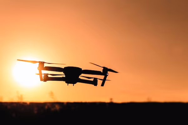
Drone Image Annotation
Built for teams shipping drone-based AI who need reliable labeled 3D data. You get bounding boxes, segmentation masks, and polygons, stable label guidelines, and QA you can audit, without slowing your roadmap. Drone Image Annotation is delivered with secure workflows and consistent reporting from pilot to production.
Detailed object and structure annotation adapted to low altitude drone perspectives.
Flexible taxonomies for construction, inspection, agriculture, and environmental use cases.
Stable multi step quality control that ensures consistency across large drone datasets.
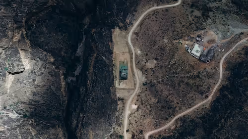
Drone imagery provides a detailed and flexible perspective for analyzing infrastructure, construction activity, natural environments, and hard to reach areas. To train reliable computer vision models with this type of imagery, datasets must be annotated with precise boundaries, stable class definitions, and consistent visual interpretation.
Why us DataVLab supports teams working with low altitude and medium altitude drone photos that require detailed inspection level annotation. Unlike wide aerial imagery, drone images often capture finer textures, smaller structures, and close range scenes.
This requires annotators who understand object detail, perspective variation, and lighting changes that occur in flight.
We annotate objects, structures, materials, vegetation, and site elements based on your project taxonomy. Whether the use case involves inspecting rooftops, mapping construction zones, identifying defects, or monitoring wildlife, our workflows ensure consistency across thousands of drone images. Every bounding box, polygon, or segmentation mask is reviewed through multi stage quality control. Annotation Drone image annotation also plays a key role in building datasets for safety analysis, construction progress tracking, industrial monitoring, and search related workflows.
We work closely with each client to define annotation rules, edge cases, and measurement criteria so that the dataset aligns directly with model requirements.
Examples of Drone Image Annotation Workflows
We support diverse industries that rely on drone based visual data for monitoring, inspection, and analysis.

Infrastructure and Asset Inspection
Identifying structural elements and defects
We annotate rooftops, cracks, corrosion, utility structures, and surface conditions to assist inspection models and reporting workflows.
Construction Monitoring
Labeling materials, equipment, and site progress
We annotate construction objects such as machinery, materials, and layout zones to support progress tracking and site management.
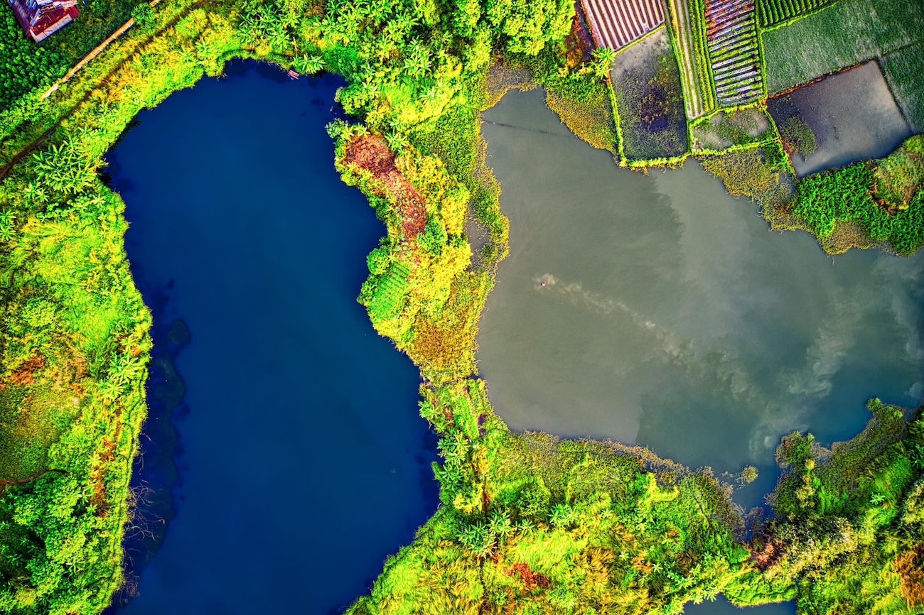
Environmental and Wildlife Analysis
Monitoring natural areas
We label vegetation, wildlife, terrain features, and environmental markers for conservation and ecological research.
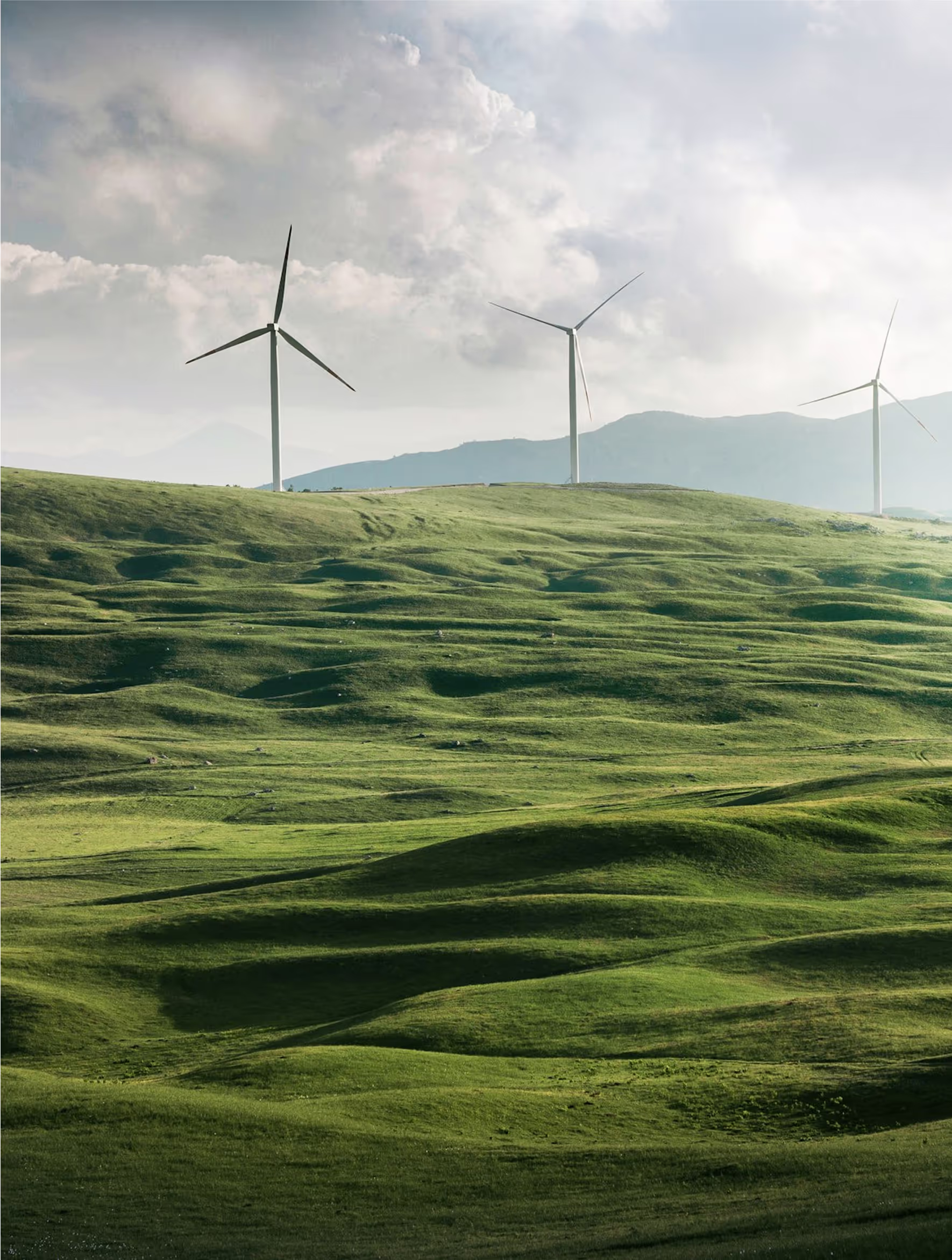
Agriculture and Field Observation
Identifying crop health and field structures
We annotate crop zones, field boundaries, irrigation lines, and visible growth patterns to support agricultural analytics.
Security and Perimeter Monitoring
Detecting activity in restricted areas
We annotate people, vehicles, and site access points for models used in surveillance and perimeter monitoring.
Damage Assessment
Understanding post event conditions
We annotate structural damage, debris, and environmental impact after storms, fires, or other incidents.
Discover How Our Process Works

Defining Project
Sampling & Calibration
Annotation
Review & Assurance
Delivery
Explore Industry Applications

We provide solutions to different industries, ensuring high-quality annotations tailored to your specific needs.
We provide high-quality annotation services to improve your AI's performances

Annotation & Labeling for AI
Unlock the full potential of your AI application with our expert data labeling tech. We ensure high-quality annotations that accelerate your project timelines.
Image Annotation Services
Image annotation services for AI teams building computer vision models. DataVLab supports bounding boxes, polygons, segmentation, keypoints, OCR labeling, and quality-controlled image labeling workflows at scale.
Aerial Image Annotation
High quality annotation of aerial photography for mapping, inspection, agriculture, construction, and environmental analysis.
Drone Data Labeling
Multi modality drone data labeling for video, telemetry, LiDAR, and sequence based AI models.
Satellite Image Annotation Services
High accuracy annotation for satellite imagery across land cover mapping, object detection, agricultural monitoring, and environmental change analysis.
FAQs
Here are some common questions we receive from our clients to assist you.
What is drone data labeling and what does it include?
Drone data labeling annotates aerial imagery, video, LiDAR point clouds, and thermal sensor data captured from unmanned aerial vehicles (UAVs). It includes object detection and classification from above (vehicles, people, buildings, infrastructure, agricultural features), semantic and instance segmentation of aerial scenes, 3D structure annotation from drone LiDAR, thermal anomaly detection annotation, change detection between multi-temporal drone captures, and georeferenced annotation that preserves real-world coordinate accuracy. Drone annotation supports inspection, surveillance, agriculture, mapping, emergency response, and environmental monitoring applications.
What makes drone annotation different from ground-level image annotation?
Drone imagery presents several annotation challenges specific to aerial perspective. Variable altitude means objects appear at dramatically different scales depending on flight height, requiring scale-invariant annotation guidelines that cover the object at all expected operational altitudes. Nadir (top-down) perspective makes objects look different from any ground-level training data, requiring annotators to identify objects from their roof or top-surface characteristics rather than their typical front-facing appearance. Motion blur from drone movement and vibration degrades image quality in ways that standard annotation tools do not handle well. Shadow creates misleading visual cues that can confuse annotators about object extent and class.
What are the main use cases for drone annotation?
Drone annotation is used across a wide range of industries. Infrastructure inspection: annotating power line damage, roof condition, bridge structural elements, pipeline integrity, and wind turbine surface anomalies from drone imagery. Agriculture and precision farming: crop health annotation, weed and pest detection, yield estimation, and irrigation monitoring. Emergency response: disaster damage assessment, search and rescue target detection, and situational awareness mapping. Environmental monitoring: deforestation detection, invasive species mapping, wildlife counting, and pollution monitoring. Construction and real estate: progress monitoring, material stock counting, site safety monitoring, and as-built verification.
What regulatory compliance considerations apply to drone annotation programs?
Professional drone annotation programs require careful regulatory compliance management. In Europe, EASA regulations (and national CAA implementations) govern drone operations including data capture. For commercial drone annotation projects, the flight operations must be compliant with applicable regulations before data is captured. GDPR applies to drone imagery that captures identifiable individuals or vehicles. For systematic drone surveillance, the Privacy Impact Assessment requirements under GDPR must address proportionality and necessity. DataVLab provides annotation services for drone datasets and advises on data handling protocols to ensure annotation workflows are compliant with European regulatory requirements.
When is drone annotation most valuable compared to other imaging approaches?
Drone annotation is most valuable for applications where aerial perspective provides information that ground-level cameras cannot. Power line and pipeline inspection from drone imagery covers terrain that ground crews cannot safely access. Agricultural monitoring from drone altitude captures field-scale patterns that ground sensors miss. Construction progress monitoring from drone captures the entire site simultaneously rather than requiring survey crews. Emergency response uses drone imagery for situational awareness that helicopters and ground teams cannot provide. Wildlife counting from drone altitude minimizes disturbance compared to ground survey methods. DataVLab annotation supports all these applications with annotation guidelines adapted to aerial perspective.
What drone data labeling services does DataVLab provide?
DataVLab provides drone data labeling for infrastructure inspection, precision agriculture, environmental monitoring, emergency response, construction monitoring, and surveillance applications. We annotate RGB, multispectral, thermal, and LiDAR drone data with object detection, semantic segmentation, instance segmentation, change detection, and georeferenced feature extraction. For European drone programs with GDPR or sovereignty requirements, EU-based annotation teams are available. For defense and intelligence drone programs, we work under the sovereignty and confidentiality requirements that defense programs specify.


Custom service offering
Up to 10x Faster
Accelerate your AI training with high-speed annotation workflows that outperform traditional processes.
AI-Assisted
Seamless integration of manual expertise and automated precision for superior annotation quality.
Advanced QA
Tailor-made quality control protocols to ensure error-free annotations on a per-project basis.
Highly-specialized
Work with industry-trained annotators who bring domain-specific knowledge to every dataset.
Ethical Outsourcing
Fair working conditions and transparent processes to ensure responsible and high-quality data labeling.
Proven Expertise
A track record of success across multiple industries, delivering reliable and effective AI training data.
Scalable Solutions
Tailored workflows designed to scale with your project’s needs, from small datasets to enterprise-level AI models.
Global Team
A worldwide network of skilled annotators and AI specialists dedicated to precision and excellence.
Potential Today
Blog & Resources
Explore our latest articles and insights on Data Annotation


We are here to assist in providing high-quality data annotation services and improve your AI's performances