How Drone Image Analysis Helps Transform Aerial Operations
From Raw Imagery to Actionable Insights
Raw drone footage contains enormous amounts of visual data that would take human teams weeks to process manually. AI-powered image analysis transforms this raw data into structured, actionable outputs: defect maps, vegetation encroachment reports, structural change assessments, or crop stress indices. The combination of drone data collection and AI analysis creates inspection, monitoring, and mapping workflows that were not economically viable at scale before this technology matured.
Supporting Repeatable and Standardised Analysis
Manual visual inspection produces inconsistent results because human reviewers differ in attention, expertise, and fatigue state. AI analysis applies the same classification rules to every image in a dataset, producing outputs that are consistent regardless of the volume of data being processed. This consistency is particularly valuable in applications where trend detection across multiple inspection cycles matters, such as infrastructure monitoring and crop health assessment.
Enabling Real-Time and Near-Real-Time Processing
Edge-deployed AI models on drone platforms can process imagery during flight, flagging regions of interest that require closer inspection without waiting for post-mission data transfer and analysis. This real-time capability changes the operational workflow from collect-then-analyse to analyse-during-collection, allowing operators to redirect flights toward areas of concern identified by the model during the mission.
Core AI Algorithms in Drone Image Analysis
Object Detection for Asset and Feature Identification
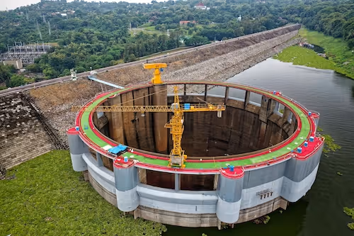
Object detection models locate and classify features within aerial images: power line components, agricultural equipment, building structures, vehicles, or environmental features such as water bodies and vegetation types. Detection provides the spatial context that other analysis tasks build upon. Model accuracy depends heavily on the quality and diversity of the annotated training datasets used during development.
Scene Segmentation for Land Use and Coverage Analysis
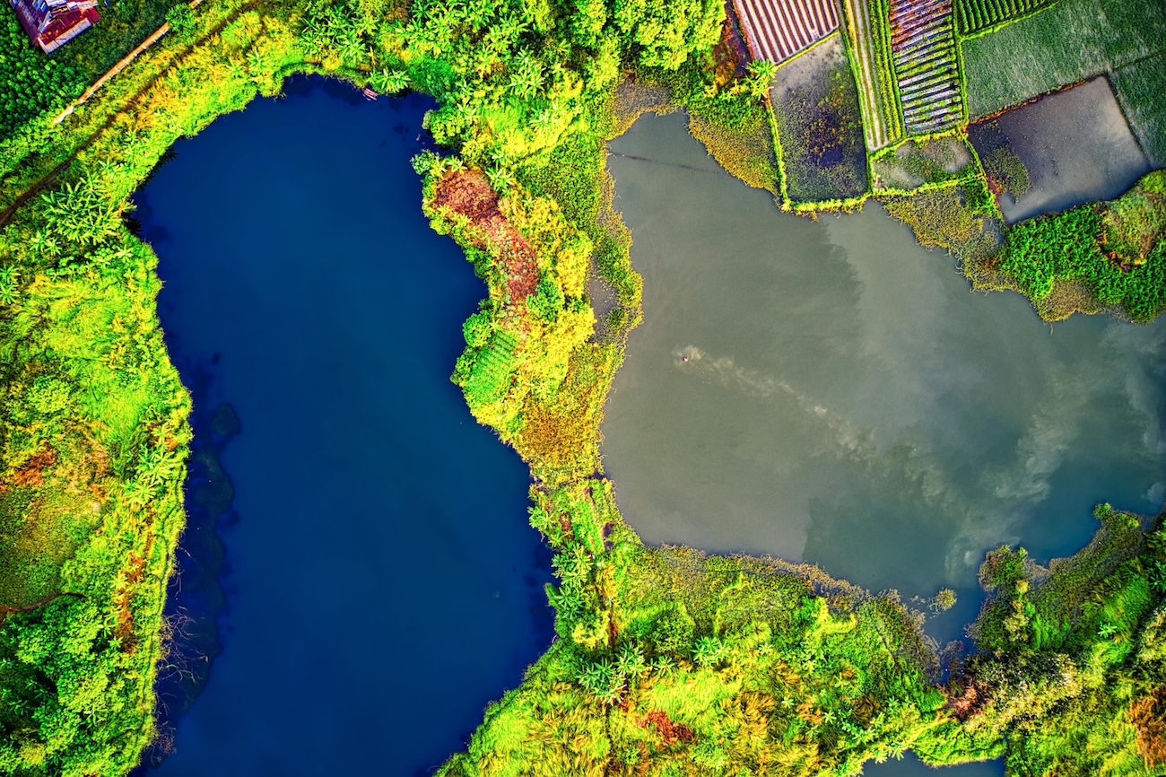
Semantic segmentation labels every pixel in an aerial image with a category from a predefined taxonomy. For agricultural applications, this produces maps of crop types, soil conditions, and problem zones. For infrastructure applications, it delineates asset zones, vegetation encroachment areas, and surface damage regions. Segmentation outputs are typically the most informative for large-area monitoring applications.
3D Reconstruction and Elevation Modeling
Photogrammetric processing of overlapping drone imagery produces three-dimensional point clouds and digital elevation models that capture surface geometry. AI-assisted 3D reconstruction improves the accuracy and efficiency of this process, particularly in challenging environments with repetitive textures, sparse feature points, or complex occlusion patterns. 3D outputs support volumetric measurement, terrain analysis, and structural inspection applications.
Change Detection Across Temporal Image Series
Comparing drone imagery collected at different dates identifies changes in land cover, vegetation state, structural condition, or built environment. Change detection algorithms highlight differences between image pairs, directing analyst attention to regions that have changed without requiring review of every pixel in large datasets. This temporal analysis capability is central to monitoring applications.
Challenges in Drone Image Analysis
Altitude and Resolution Variation
Drone missions are conducted at varying altitudes depending on regulatory constraints, operational requirements, and payload capabilities. This variation affects the ground sample distance of collected imagery, changing the apparent size of features that models must detect. Training datasets and annotation guidelines must account for this variation to produce models that generalise across the full range of operational altitudes.
Environmental and Lighting Conditions
Outdoor drone operations encounter varying sun angles, cloud cover, haze, and seasonal vegetation states. These environmental factors affect image appearance in ways that can confuse models trained on data collected under different conditions. Building robust analysis models requires datasets that deliberately capture the environmental diversity of the deployment context.
Occlusion and Perspective Distortion
Aerial perspectives introduce perspective distortion and occlusion patterns that differ from ground-level imagery. Features at the edges of wide-angle drone images are subject to significant perspective distortion. Tall structures occlude areas behind them from specific flight directions. Annotation guidelines and dataset composition must address these geometric challenges to produce models that handle aerial perspective consistently.
Building Training Datasets for Drone Analysis AI
Annotation Modalities for Aerial Data
Drone image analysis datasets use the full range of annotation types depending on the application: bounding boxes for object detection, polygon segmentation for irregular boundaries, semantic masks for area analysis, and keypoint annotations for specific feature locations. The appropriate annotation type is determined by the spatial precision required by the downstream model and the nature of the features being labeled.
Domain Expertise in Annotation Teams
Many drone image analysis applications require annotators with specialist knowledge. Agricultural datasets require annotators who understand crop phenology and stress symptoms. Infrastructure inspection datasets require annotators with engineering knowledge of the asset types being assessed. Geospatial datasets require understanding of terrain classification conventions. Generic annotation teams produce unreliable ground truth for technically demanding aerial analysis tasks.
Quality Assurance Across Large Datasets
Drone missions can produce thousands of images per flight, creating annotation volumes that make individual image review impractical. Effective quality assurance for drone datasets combines systematic sampling of annotated images, gold standard benchmarking, inter-annotator agreement measurement, and automated detection of annotation inconsistencies across large batches.
For related reading, see our guides on data annotation vs data labeling, types of data annotation and data annotation pricing.
Working With DataVLab on Drone Analysis Datasets
DataVLab provides annotation services for drone image analysis AI across agriculture, infrastructure, geospatial, and environmental monitoring applications. Our annotation teams work with segmentation, detection, classification, and change detection tasks across RGB, thermal, and multispectral imagery. If your team is building or scaling aerial analysis models, contact DataVLab to discuss annotation requirements and dataset design.