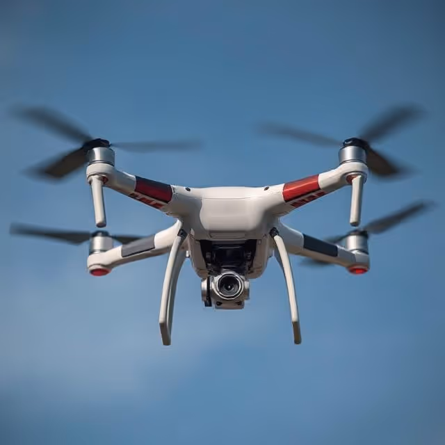
Why Drone Surveillance Matters in the AI Era 🚁
Drone surveillance has transformed how we monitor vast environments. From tracking wildlife and inspecting infrastructure to monitoring crop health and identifying unauthorized border crossings, drones provide scalable, cost-efficient, and high-resolution imagery.
But raw aerial images alone are not enough.
To extract meaningful insights, these images must be annotated with precision. Whether you're marking rooftops in post-disaster zones or identifying vehicles on highways, the quality of your annotations directly affects the performance of AI models built for object detection.
Industries Benefiting from Drone Image Annotation
- Agriculture: Crop disease detection, livestock counting, and irrigation monitoring.
- Construction: Site progress tracking, equipment usage, and safety compliance.
- Security & Defense: Intruder detection, border monitoring, convoy tracking.
- Disaster Response: Damage assessment, search and rescue localization.
- Urban Planning: Infrastructure mapping, traffic flow analysis, land-use classification.
According to MarketsandMarkets, the global drone services market is projected to grow to $40.7 billion by 2026, driven in part by AI-based applications.
The Unique Challenges of Annotating Aerial Drone Images
Aerial imagery differs drastically from ground-level photography, introducing specific challenges for annotation:
1. Scale and Resolution
Objects like cars, animals, or equipment appear significantly smaller in aerial footage. Annotators must strike a balance between precision and efficiency, especially when working with high-resolution drone images that cover large areas.
2. Perspective and Altitude Variability
Drones can capture images from multiple altitudes and angles—straight down (nadir), oblique, or even side views—introducing inconsistencies in object shape and size.
3. Background Clutter
Dense foliage, rooftops, shadows, and terrain changes complicate object boundaries. Annotators must be trained to handle ambiguity without introducing bias.
4. Class Imbalance
In drone surveillance, relevant targets (e.g., intruders or endangered animals) may be rare. Ensuring that AI models learn to detect such edge cases requires curated, high-quality annotation.
5. Temporal Redundancy
When labeling video streams from drones, frame-to-frame similarity can lead to redundant data unless sampled carefully. Annotating every frame is neither efficient nor always necessary.
Effective Annotation Strategies for Aerial Object Detection
To train AI models for drone surveillance, annotation workflows must be optimized for consistency and scalability. Here’s how to do it:
Define a Robust Taxonomy
A good taxonomy should:
- Include clear definitions and visual examples.
- Capture domain-specific classes (e.g., tractor vs. bulldozer, tree canopy vs. weed patch).
- Account for sub-classes if needed (e.g., vehicle types, construction stages).
This ensures annotators understand what to label and how.
Use Image Slicing for Large Images
Aerial drone imagery often exceeds 4K resolution. Divide large images into smaller tiles (e.g., 512x512 pixels) for faster annotation and to ensure object-level clarity.
Apply Consistent Guidelines Across Annotators
Annotation consistency is key for training robust models. Develop a guideline document that includes:
- Labeling rules
- Handling occlusions and partial visibility
- Class priority in overlaps
- Minimum pixel size thresholds for annotation
Prioritize Key Frames in Videos
When labeling drone videos, use smart sampling techniques such as:
- Frame skipping (e.g., every 10th frame)
- Scene change detection
- Event-based triggers (e.g., motion, anomaly detection)
Implement Quality Control (QC) Loops
A robust QC process involves:
- Reviewer-level validation of annotations
- Spot checks using intersection-over-union (IoU)
- Automatic error detection with label auditing tools
Pro Tip: Use AI-assisted pre-annotation tools to reduce manual effort and accelerate throughput.
Real-World Applications of Annotated Aerial Data
Annotated aerial images aren't just training data—they’re the foundation of real-world impact across industries. As drone capabilities evolve, so do the use cases of annotated aerial imagery in AI pipelines.
🌾 Agriculture and AgTech
- Irrigation Leak Detection: AI models identify abnormal wet patches using annotated thermal or RGB imagery, helping reduce water waste.
- Plant Phenotyping: Annotations enable AI to assess traits like leaf count, color, and canopy spread for research and precision breeding.
- Precision Spraying: Drones trained on annotated weed or pest zones can autonomously apply herbicides with minimal waste.
- Harvest Readiness Prediction: Annotated fruit clusters and ripening stages help forecast optimal harvest windows.
🏗️ Construction and Infrastructure
- Site Logistics Optimization: Drones identify equipment, storage, and access paths to streamline site traffic and reduce idle time.
- Change Detection Over Time: Annotated images from different phases enable AI to highlight deviations from plans.
- Compliance Auditing: Regular flights annotated for scaffolding, safety nets, and signage assist with regulatory checks.
🛰️ Environmental Monitoring and Conservation
- Illegal Deforestation Tracking: AI flags land-clearing activities in forests using annotated vegetation changes.
- Wildlife Behavior Study: Annotated movement patterns of animals in reserves help model behavior and migration.
- Coral Reef Health: Aerial and underwater drone imagery, when annotated, assists in tracking bleaching events.
🛑 Defense, Border Control, and Security
- Perimeter Breach Detection: AI spots unauthorized access points in annotated fencing and boundary zones.
- Convoy Monitoring: Drones track and label vehicles in real-time, improving situational awareness in defense ops.
- Coastal Surveillance: Identifying small boats or human presence on shores via drone AI trained on annotated examples helps combat trafficking or illegal fishing.
🚨 Disaster Response and Humanitarian Aid
- Road Accessibility Post-Disaster: AI trained on annotated roads and blockages helps map clear access paths for aid delivery.
- Collapsed Structure Detection: Annotating rubble and gaps allows AI to assist rescuers in prioritizing building sites.
- Refugee Camp Planning: Annotated population densities and resource zones help optimize logistics and infrastructure in crisis zones.
Common Pitfalls in Aerial Annotation (and How to Avoid Them)
Even experienced annotation teams can run into challenges with aerial imagery. Here's how to recognize and proactively resolve them:
❌ Misinterpreting Object Orientation
Problem: Aerial views can distort object shapes. For example, tents and cars may appear similar from above.
Fix: Provide annotators with high-angle reference imagery and clear visual distinctions for similar-shaped classes.
❌ Over-Reliance on Pre-Annotations
Problem: When teams use AI-generated annotations without adequate review, they risk cascading AI errors.
Fix: Always include human-in-the-loop review stages, particularly on edge cases and misdetections. Automate suggestions, not decisions.
❌ Inconsistent Label Granularity
Problem: Some annotators label a “car,” others specify “police car,” “van,” or “sedan,” creating taxonomy chaos.
Fix: Lock in the level of granularity during taxonomy design, and clearly state what counts as “subclass” vs. “main class.”
❌ Lack of Temporal Awareness
Problem: In video annotation, annotators may fail to consider object continuity, leading to inconsistencies frame to frame.
Fix: Use temporal interpolation tools or provide frame preview timelines to ensure tracking consistency over time.
❌ Annotation Fatigue in Dense Scenes
Problem: Long annotation sessions on dense drone maps (e.g., crowded protests or forest canopies) lead to human fatigue and missed labels.
Fix: Break sessions into short, focused blocks. Introduce automated density-based sampling to highlight high-activity areas.
❌ Misaligned Multi-Sensor Annotations
Problem: When annotating RGB and thermal or LiDAR imagery together, labels may be misaligned if not synchronized properly.
Fix: Align all sensor inputs via calibration. Use specialized annotation platforms that support multimodal input synchronization.
Annotation at Scale: Human-in-the-Loop + Automation
To scale drone image annotation, combine:
- AI-assisted pre-labeling: Use computer vision to generate initial labels.
- Human validation: Experts correct and validate AI output.
- Feedback loop: Updated labels improve future AI predictions.
This hybrid approach reduces manual workload while ensuring accuracy. Tools like CVAT, Labelbox, and SuperAnnotate support this workflow.
For high-stakes projects, consider outsourcing to a specialized annotation provider with aerial expertise. Check for ISO certifications and robust QA protocols.
Looking Ahead: The Future of Drone-AI Collaboration
As drones become more autonomous and sensor-rich (e.g., thermal, LiDAR, multispectral), annotation workflows will evolve:
- 3D and temporal annotation will become standard.
- Multimodal fusion will require synchronized labeling across RGB, thermal, and depth layers.
- Edge AI will process annotated models directly on drones for faster, real-time decisions.
Annotation is the backbone of these advancements. As models get smarter, the demand for clean, well-labeled aerial datasets will only grow.
Let’s Elevate Your AI with Expert Annotation 🚀
If you're working with drone data and need annotation that goes beyond the basics—DataVLab can help. Our team is trained in aerial imagery, edge case handling, and high-volume labeling.
✨ Whether you're building models for agriculture, construction, or security, we ensure your data is labeled to perform.
👉 Contact us today to discuss your project and explore how our annotation expertise can accelerate your AI pipeline.