Why Drone Object Recognition Matters
Understanding the Shift to Aerial Intelligence
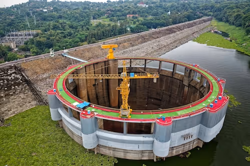
Object recognition is one of the core capabilities that makes drone operations useful at industrial scale. From detecting equipment on construction sites to identifying vehicles, vegetation, wildlife, or structural elements, drones rely on recognition systems to convert raw footage into actionable insights. Aerial robotics research from the University of Zurich illustrates how challenging overhead perception is due to motion, angle changes, and rapid shifts in altitude. Without models designed to handle these conditions, even high quality drone footage produces inconsistent or unreliable predictions.
The Value of Real Time and Post Processed Recognition
Many industries depend on drone recognition either in real time or during post flight analysis. Real time recognition is crucial for search and rescue, crowd monitoring, and responsive navigation, while offline processing powers asset inspections, land surveys, and environmental assessments. Both rely on models capable of interpreting objects that appear small, partially occluded, or visually blended with their surroundings. Recognition performance therefore depends heavily on the quality of training data, especially for small aerial objects that require precise geospatial annotation.
How Aerial Perspective Changes Computer Vision
Altitude, Scale, and Pixel Density
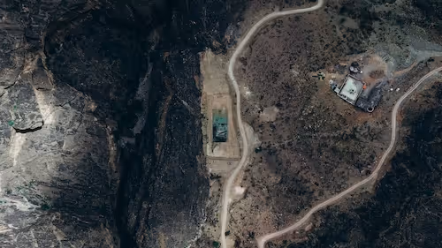
Aerial imagery compresses objects into fewer pixels, making small targets harder to detect and requiring the model to learn from low resolution cues. Studies in remote sensing and geospatial interpretation demonstrate how changing ground sampling distance alters object geometry, especially for small targets such as people or vehicles. A clear overview of aerial scale challenges is provided in remote sensing materials from the USGS. These constraints make multi scale datasets essential for teaching models to generalize across different flight heights.
Viewpoint and Environmental Distortion
Aerial viewpoints introduce shape distortion, shadow patterns, and oblique angles that complicate recognition. Shadows may resemble object boundaries, tree canopies can hide ground features, and reflective surfaces can confuse detectors. Motion blur caused by flight speed or wind adds additional complexity. Research on aerial object detection from the IEEE Geoscience and Remote Sensing community explores how motion and terrain variability affect recognition reliability. To handle these distortions, datasets must include diverse environmental and operational conditions.
The Role of Scene Context in Aerial Frames
Unlike ground vision, aerial scenes are interpreted holistically. Contextual cues help models understand whether an object fits its surroundings, such as differentiating equipment from debris or distinguishing vehicles from static structures. The Computer Vision Foundation provides extensive resources on contextual modeling in dense computer vision scenes. Capturing this context correctly during annotation is essential because models derive strong priors from spatial patterns and background structure.
Core AI Models Behind Drone Object Recognition
Convolution Based Architectures for Aerial Detection
Convolutional neural networks remain widely used in aerial perception due to their ability to extract hierarchical visual features. When adapted with multi scale layers and enhanced receptive fields, they perform well on typical drone tasks such as identifying vehicles, rooftops, boats, or construction equipment. These models depend heavily on consistent annotation at small scales because any noise in the training data amplifies across feature pyramids.
Transformer Based Approaches for Wide Aerial Scenes
Vision transformers have gained traction in drone analytics because they model global relationships across the entire frame. This is especially helpful for large, cluttered, or heterogeneous landscapes where local features alone are insufficient. Transformers excel in distinguishing objects whose appearance changes with altitude but whose context remains stable. However, they require large, consistently labeled datasets to avoid overfitting, making annotation workflow design a central success factor.
Multi Sensor Detection for Complex Scenarios
Some drone applications integrate thermal, multispectral, or LiDAR sensors to complement RGB imagery. These modalities are valuable for agriculture, night operations, and structural inspection, where RGB alone may not reveal relevant features. The European Space Agency discusses how multispectral data enhances environmental interpretation. Training multi sensor models requires alignment across modalities so that labels correspond precisely to the same object across different sensor outputs.

Why Annotation Defines Recognition Success
Granularity, Taxonomies, and Label Definitions
For drone object recognition, annotation must reflect fine differences between visually similar objects. This often requires polygon masks, instance labels, or hierarchical classes. Granular taxonomies reduce ambiguity and improve model consistency, especially in environments where objects appear visually compressed. Clear guidelines help annotators maintain uniformity across thousands of frames.
Capturing Edge Cases and Challenging Frames
Aerial datasets contain many difficult scenarios: small objects at the frame boundary, occlusions from vegetation, unusual shadows, or temporary structures. These are crucial training examples, not noise. Including them teaches models to handle the diversity encountered in real operations. Ignoring these cases often leads to brittle models that fail under minor environmental shifts.
Ensuring Dataset Diversity Across Environments
Generalization is one of the hardest challenges in drone perception. A model trained only on urban scenes will perform poorly in agricultural or coastal environments. Seasonal variations also influence visual appearance. Including multiple terrains, weather patterns, altitudes, and sensor configurations significantly improves model stability. Diversity must be intentional rather than incidental to avoid blind spots in critical use cases.
Preparing Drone AI Systems for Real World Deployment
Designing Flight Plans That Support Recognition
Recognition accuracy improves when flight operations follow structured acquisition strategies. Stable altitude, consistent overlap, and controlled camera angles produce cleaner training data and reduce visual variability. Teams that align collection protocols with model requirements gain better performance and easier dataset iteration.
Benchmarking Models Under Realistic Constraints
Laboratory results rarely reflect operational performance. Field testing under variable illumination, wind, terrain, and sensor settings provides the most accurate indication of model readiness. This process also identifies hard cases that should be incorporated into future dataset versions.
Continuous Dataset Improvement
Drone AI evolves through iteration. New object types, misdetections from deployments, and unseen environments all provide valuable data that should be integrated back into the dataset. By maintaining a structured loop of review, labeling, and retraining, teams build models that remain robust as their operational landscape expands.
Supporting Drone Recognition Projects With Expert Data
Drone object recognition has become essential for automated inspection, mapping, and monitoring across multiple industries. Its reliability depends on carefully designed datasets, precise annotations, and rigorous quality assurance. If you are developing aerial perception capabilities and need expert support with dataset creation, annotation workflows, or scalable QA, we can explore how DataVLab helps build high quality drone datasets tailored to your operational needs.