Why Robot Navigation Datasets Matter
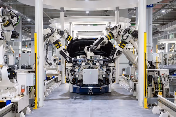
Robot navigation datasets provide the perception information autonomous systems need to understand their surroundings. These datasets help robots identify drivable surfaces, detect obstacles, estimate depth and build maps that support localization. Organizations such as Open Robotics have demonstrated how navigation performance depends heavily on the diversity and quality of the training data. Robots that operate in warehouses, factories, homes or outdoor terrains require datasets that reflect the complexity of their environments. Without high quality annotations, navigation algorithms may fail in real world situations where lighting, clutter or structural irregularities challenge perception systems.
How Navigation Models Interpret Environments
Navigation models analyze images, depth maps and sensor data to distinguish safe paths from hazardous areas. They interpret spatial cues such as edges, surfaces, textures and geometric structures to build internal representations of the world. Research from the Oxford Robotics Institute shows that models trained on diverse datasets generalize better across new scenes and maintain stability in changing environments. The ability to interpret three dimensional structure accurately allows robots to predict how they should move, turn or adjust their trajectory. Models rely on detailed and consistent annotations to learn how to interpret complex indoor layouts and unpredictable outdoor terrains.
Scene Understanding for Navigation
Scene understanding helps robots determine what parts of a scene are safe to traverse and which are not. Robots depend on labels that identify floors, walls, paths, ramps, stairs, vegetation and obstacles. These semantic cues provide the robot with contextual awareness that improves autonomy. When datasets represent a wide range of environments, navigation models learn to adapt to unfamiliar conditions. Scene understanding supports not only static perception but also real time decision making as robots move through dynamic spaces.
Integrating Depth and Geometry
Depth information plays a critical role in navigation because robots need to understand the shape and distance of objects. Combining RGB images with depth sensors provides richer information for detecting hazards and planning paths. Models learn how to interpret geometry to avoid collisions and maintain stable movement. Depth maps must be precisely aligned with visual data to ensure consistent labeling and accurate perception. Quality annotations help robots learn these geometric relationships reliably.
Designing a Navigation Taxonomy
A navigation taxonomy defines how scenes and objects are categorized during annotation. The taxonomy must reflect both visual cues and the robot’s operational needs. A well structured taxonomy improves dataset consistency, which translates into better model performance. The Stanford Robotics Lab has shown that navigation systems benefit significantly from taxonomies tailored to the robot’s environment.
High Level Navigation Categories
High level categories often include floor, wall, door, stairs, ramp, furniture, machinery, vegetation, road and sky. These categories help models differentiate navigable areas from obstacles or restricted zones. Consistent labeling of these categories across the dataset improves model stability and generalization. High level taxonomy elements should be visually distinct and relevant to navigation.
Indoor Specific Categories
Indoor environments require categories such as hallway, room entrance, shelving unit, pallet rack, chair, table or dynamic human presence. Indoor navigation systems must interpret these elements because they influence movement and path planning. Indoor taxonomy design should reflect the robot’s intended use case, whether for warehouse automation, service robotics or industrial tasks. Specialized indoor categories improve the robot’s ability to handle cluttered and structured environments.
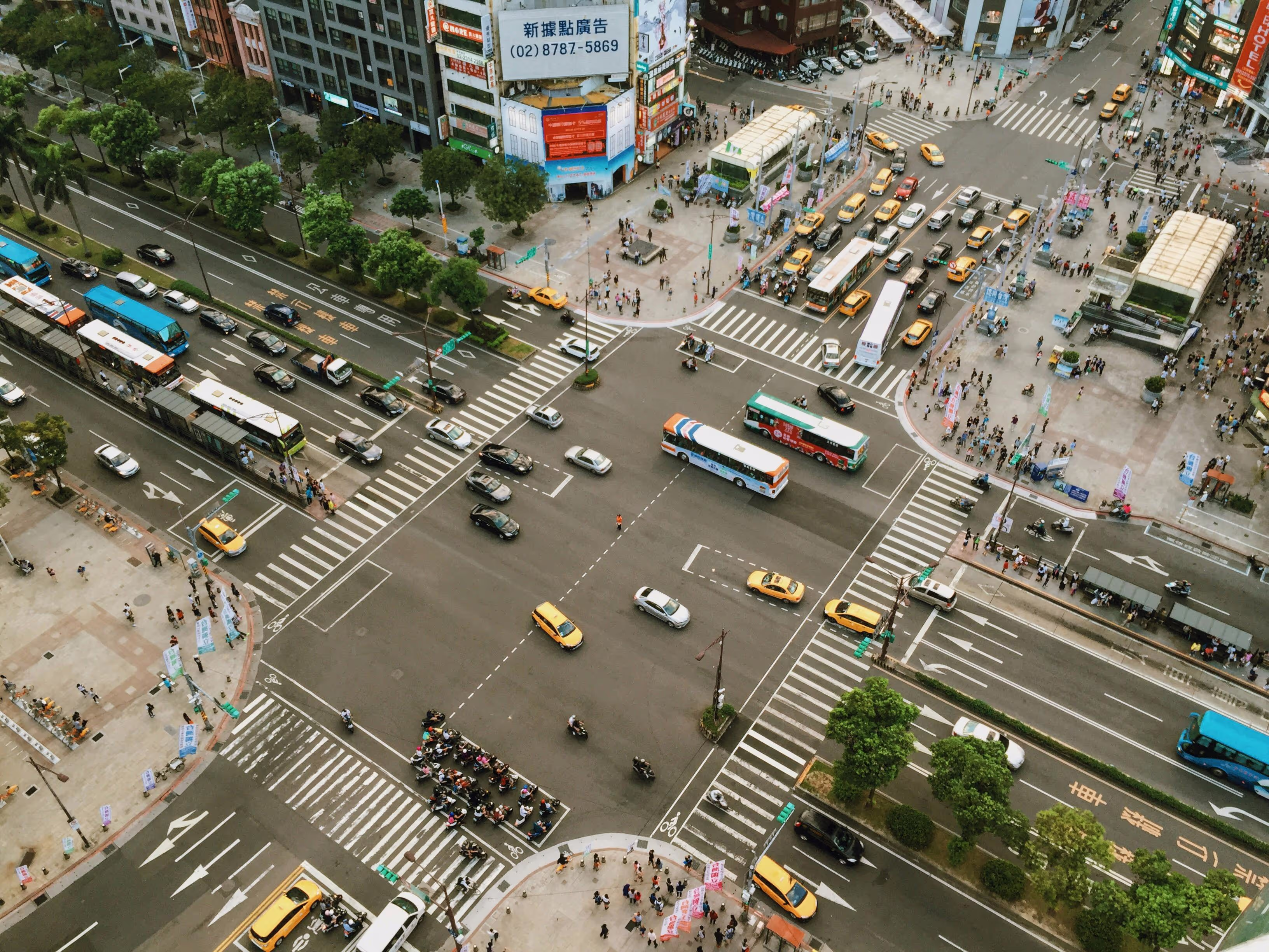
Outdoor Specific Categories
Outdoor robots require categories covering terrain types, vegetation, sidewalks, curbs, stones, slopes, gravel, grass and foliage. Outdoor environments include irregular terrain and lighting variability, so taxonomies must account for challenging conditions. Outdoor labels help robots interpret natural landscapes and distinguish safe paths from hazardous ones. Well defined outdoor categories support autonomous systems operating in agriculture, delivery or exploration tasks.
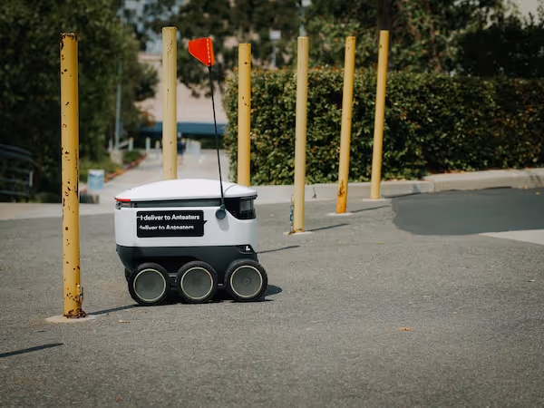
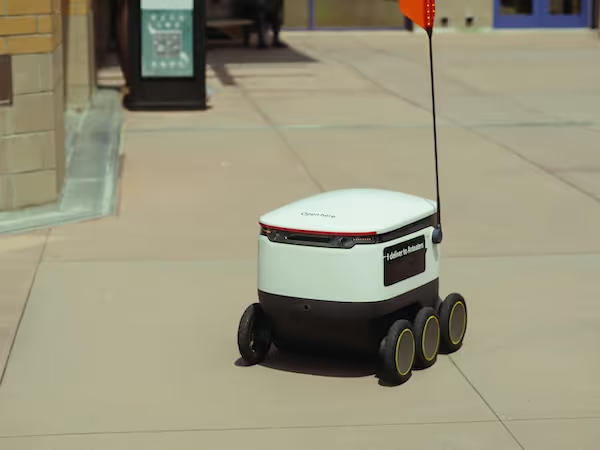
Collecting Images for Navigation Datasets
Image collection must represent the diversity of environments where robots operate. Robots encounter lighting shifts, changing surfaces and dynamic obstacles. Collecting data in varied conditions ensures that models can adapt to real world scenarios. Data collection must be precise, consistent and aligned with the intended deployment domain.
Indoor Data Collection Strategies
Indoor scenes require capturing different rooms, hallways, staircases, storage areas and workspaces. Robots often operate in areas with reflective surfaces, narrow passages or clutter, so datasets must capture these variations. Imaging should occur under multiple lighting conditions, including natural light, artificial light and mixed lighting. Repeating captures across different times of day helps models learn robustness.
Outdoor Data Collection Strategies
Outdoor environments require capturing diverse weather, terrain and seasonal variations. Conditions such as bright sunlight, clouds, rain, snow, dust or fog significantly alter scene appearance. Outdoor datasets must include enough variability to prepare models for unpredictable conditions. Capturing urban, suburban and natural settings improves model generalization.
Multi Sensor Data Collection
Robots often use synchronized sensors such as RGB cameras, depth cameras, LiDAR and IMUs. Collecting multi sensor data provides richer environmental understanding and enhances navigation accuracy. Data alignment and calibration during collection ensure that sensor fusion models learn consistent patterns. Multi modal datasets help robots operate reliably across environments.
Preprocessing Navigation Data
Preprocessing improves data consistency and prepares images for annotation. Navigation models depend on clear and accurate training data, so preprocessing must address distortions, noise and inconsistencies. Proper preprocessing reduces annotation errors and ensures high quality model training.
Lighting Normalization
Indoor and outdoor lighting varies significantly across time and space. Normalizing brightness and contrast improves visual clarity and reduces shadows. Robots must rely on consistent visual cues, and preprocessing ensures annotators can identify relevant structures accurately. Lighting normalization improves overall dataset cohesion.
Geometric Correction
Sensors may introduce distortion or misalignment that distort object shapes. Geometric correction ensures that straight lines remain straight and that depth data aligns with RGB images. Correcting these distortions improves annotation accuracy and prevents geometric errors from misleading models. This is particularly important for wide angle lenses.
Noise Removal
Noise from low light environments, sensor jitter or environmental particles can obscure navigational cues. Removing noise improves visibility and helps annotators identify boundaries accurately. Clean preprocessing strengthens both annotation and model training quality.
Annotation Methods for Navigation Datasets
Annotation methods vary depending on the level of detail required. Navigation systems may use segmentation, bounding boxes or region labels to interpret their environment. Choosing the right method improves dataset efficiency and model performance.
Semantic Segmentation for Navigation
Semantic segmentation provides fine grained labeling of surfaces and objects. It supports detailed scene understanding, making it essential for navigation tasks requiring precise control. Segmentation helps robots identify drivable areas, avoid obstacles and detect dangerous regions. High resolution segmentation supports stable path planning.
Bounding Boxes for Obstacles
Bounding boxes provide a simpler method for identifying objects without labeling precise boundaries. Boxes help models locate obstacles and dynamic objects efficiently. This method accelerates annotation while still supplying meaningful detection cues. Bounding boxes are useful for preliminary navigation systems.
Region Level Annotation
Region labels group large areas of the scene into broad categories such as drivable, non drivable or unknown. This method simplifies annotation for large datasets and supports high level planning. Region level labels are effective for outdoor mapping tasks where exact boundaries are less important. These labels reduce annotation complexity while still supporting robust decision making.

Creating Annotation Guidelines
Annotation guidelines ensure that labels remain consistent across annotators and environments. Clear rules reduce ambiguity and improve dataset reliability. Guidelines must address visual complexity, sensor noise and environmental variance.
Defining Indoor Boundaries
Indoor scenes include walls, floors, furniture and irregular obstacles. Guidelines must specify how to handle corners, reflections and partial visibility. Annotators should receive reference images to improve labeling accuracy in challenging situations. Clear instructions reduce inconsistencies in structured environments.
Defining Outdoor Boundaries
Outdoor environments contain irregular terrain, vegetation and unstructured elements. Guidelines must describe how to treat transitional surfaces such as gravel paths or partially occluded vegetation. Outdoor boundaries require consistent logic to avoid confusion between similar textures. Detailed instructions help annotators label complex natural scenes correctly.
Handling Dynamic Objects
Dynamic objects such as people, vehicles or machinery introduce uncertainty into navigation scenes. Guidelines must explain how to label these objects when partially visible or moving rapidly. Consistent labeling of dynamic elements improves model performance in real time applications. Robots must recognize moving objects accurately to avoid collisions.
Quality Control for Navigation Datasets
Quality control ensures that annotated datasets remain accurate and consistent across thousands of images. Because navigation involves safety critical decisions, QA procedures must be thorough and systematic.
Multi Stage Review
Multi stage review processes detect annotation inconsistencies, incorrect boundaries and misclassified objects. First stage reviewers validate category choices, while second stage reviewers inspect border precision and consistency across images. This layered approach catches errors early and maintains high dataset quality.
Expert Domain Review
Navigation experts evaluate difficult scenes and ensure that category definitions align with real world conditions. Experts understand how robots interpret scenes and can identify labeling errors that affect model performance. Expert review adds reliability and domain accuracy to the dataset.
Automated Dataset Checks
Automated tools detect irregular patterns, inconsistent labeling or incomplete annotations. These tools highlight potential errors so reviewers can focus on problematic images. Automated QA accelerates the validation process and increases dataset scalability.
Challenges in Navigation Dataset Annotation
Navigation scenes are complex and variable. Understanding these challenges helps teams design datasets that generalize across environments and support reliable robot behavior.
Lighting and Weather Variability
Lighting changes indoors and outdoors create inconsistent visual cues. Shadows, reflections and overexposure distort object boundaries and influence model interpretation. Datasets must include multiple lighting conditions to ensure robustness. Robots must operate reliably regardless of lighting shifts.
Cluttered Indoor Environments
Indoor environments often include clutter such as boxes, equipment, tools and cables. Clutter creates occlusions, irregular shapes and unpredictable boundaries. Annotators must follow guidelines to label clutter accurately. Cluttered datasets improve performance in industrial or domestic settings.
Irregular Outdoor Terrain
Outdoor terrain includes slopes, rocks, plants, water and debris. These elements create highly irregular shapes and textures. Annotators must label these elements consistently to train models that navigate safely in natural environments. Diverse outdoor datasets improve generalization across conditions.
How Navigation Datasets Support Autonomous Systems
Navigation datasets enable robots to understand their environment at a fine level of detail. They support multiple robotics functions across the autonomy stack, from perception to path planning.
Integration with SLAM Systems
SLAM relies on accurate scene representation to build maps and estimate robot position. Annotated datasets help models identify landmarks and track them over time. SLAM performance improves when trained on high quality labels that reflect structural detail. Segmentation and classification enhance map clarity.
Integration with Path Planning
Path planning uses labeled scenes to identify drivable areas and avoid hazards. Segmentation helps robots predict safe routes, adjust speed and plan maneuvers. Reliable labels improve trajectory stability and reduce navigation errors. High quality datasets produce more confident navigation decisions.
Integration with Obstacle Avoidance
Obstacle avoidance systems depend on accurate detection of static and dynamic objects. Bounding boxes, segmentation and region labels provide essential cues for collision prevention. Annotated datasets help robots react appropriately to pedestrians, vehicles or falling objects. Robust annotation improves safety in real environments.
Supporting Your Navigation and SLAM Projects
If you are building navigation datasets or developing SLAM, localization or obstacle avoidance systems, we can help you design structured annotation pipelines and create high quality labels tailored to real world operational environments. Our teams specialize in indoor and outdoor dataset creation, multi sensor annotation and robust quality control systems. If you want support for your next navigation dataset, feel free to reach out anytime.