Why Obstacle Detection Matters for Autonomous Systems
Obstacle detection is one of the most critical functions in any autonomous robot. Robots must avoid collisions with walls, furniture, equipment, people, vehicles and irregular terrain while navigating in dynamic environments. High quality obstacle detection datasets help robots learn to distinguish between safe and unsafe regions and to predict how hazards may move or change over time. Research from the Georgia Tech Institute for Robotics and Intelligent Machines shows that robust obstacle detection significantly improves navigation stability in unpredictable environments. Robots depend on detailed datasets to interpret risks that humans would usually detect instinctively. These datasets form the foundation for safe movement in warehouses, offices, hospitals, factories and outdoor terrains.
Understanding Obstacle Detection in Robotics
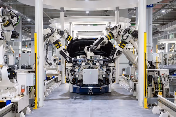
Obstacle detection involves identifying hazards, classifying them and estimating their shape, position and movement. Robots use cameras, depth sensors, LiDAR and sometimes radar to gather environmental data. The Toyota Research Institute’s robotics research demonstrates how multimodal perception improves obstacle detection robustness. Models learn to interpret obstacles by analyzing visual cues, depth discontinuities and motion patterns. Understanding these features requires datasets that represent diverse environments with high annotation precision. Without accurate training data, obstacle detection systems may fail under real conditions, especially in low light, cluttered spaces or fast moving scenes.
Types of Obstacles Robots Must Detect
Robots encounter a wide variety of obstacles during operation. These include fixed hazards such as walls, posts, shelves and machines as well as dynamic obstacles such as people, forklifts or carts. Outdoor robots deal with additional hazards such as rocks, branches, curbs, potholes and uneven ground. Reflective surfaces, glass walls or transparent plastic can also create perception challenges. Robots must distinguish between obstacles that can be bypassed and transient elements that may move after a delay. Annotated datasets must represent all these categories clearly to support robust perception.
How Obstacle Detection Models Interpret Hazards
Obstacle detection models analyze RGB images, depth signals and structural edges to identify hazards. They combine multiple cues to handle ambiguous or visually difficult scenes. For example, depth discontinuities help models detect obstacles that lack clear visual texture. Optical flow helps robots understand moving hazards, while semantic segmentation gives context about object categories. The more diverse and accurate the dataset, the better the model can generalize across real world environments.
Designing an Obstacle Detection Taxonomy
A well defined taxonomy guides annotators and helps models learn meaningful distinctions between obstacle types. The taxonomy should reflect the robot’s use case and environmental context. Clear category definitions lead to consistent labeling across the dataset, which improves model accuracy.
High Level Obstacle Categories
High level categories typically include static obstacles, dynamic obstacles, drivable surfaces and non drivable regions. These labels help navigation systems make binary safety decisions quickly. High level categorization also simplifies annotation workflows by separating hazards into broad groups. Models learn to prioritize these categories during real time perception.
Indoor Obstacle Categories
Indoor environments require specialized labels for objects that commonly obstruct movement. These include furniture, doors, shelves, boxes, equipment, cables and human presence. Indoor robots operate in structured spaces but must handle irregular layouts and clutter. Annotators must identify obstacles that block movement even if they appear visually similar to background elements. Indoor categories must reflect operational needs such as warehouse automation or service robotics.
Outdoor Obstacle Categories
Outdoor robots require labels that cover terrain elements such as rocks, bushes, tree roots, ground holes and uneven surfaces. Outdoor scenes include unpredictable natural elements that vary across seasons and weather conditions. The CMU AirLab studies how outdoor robots interpret hazards across changing environmental conditions. Outdoor categories help robots understand complex terrains and avoid dangerous ground patterns. Including diverse outdoor scenes improves model resilience.
Collecting Images for Obstacle Detection Datasets
Data collection determines how well models can generalize across real world environments. Robots encounter diverse obstacles that change shape, appearance and behavior, so datasets must capture this variability. High quality collection involves careful planning and domain specific strategies.
Indoor Data Collection
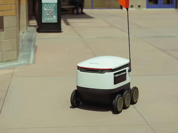
Indoor data collection must represent multiple types of buildings with varied layouts, lighting and materials. Warehouses contain reflective floors, stacked boxes and narrow aisles, while offices include furniture, glass walls and electronic equipment. Hospitals require robots to navigate around beds, carts, wheelchairs and staff. Capturing scenes from multiple angles and heights improves perception diversity. Collecting data at different times of day ensures lighting variability that improves model training.
Outdoor Data Collection
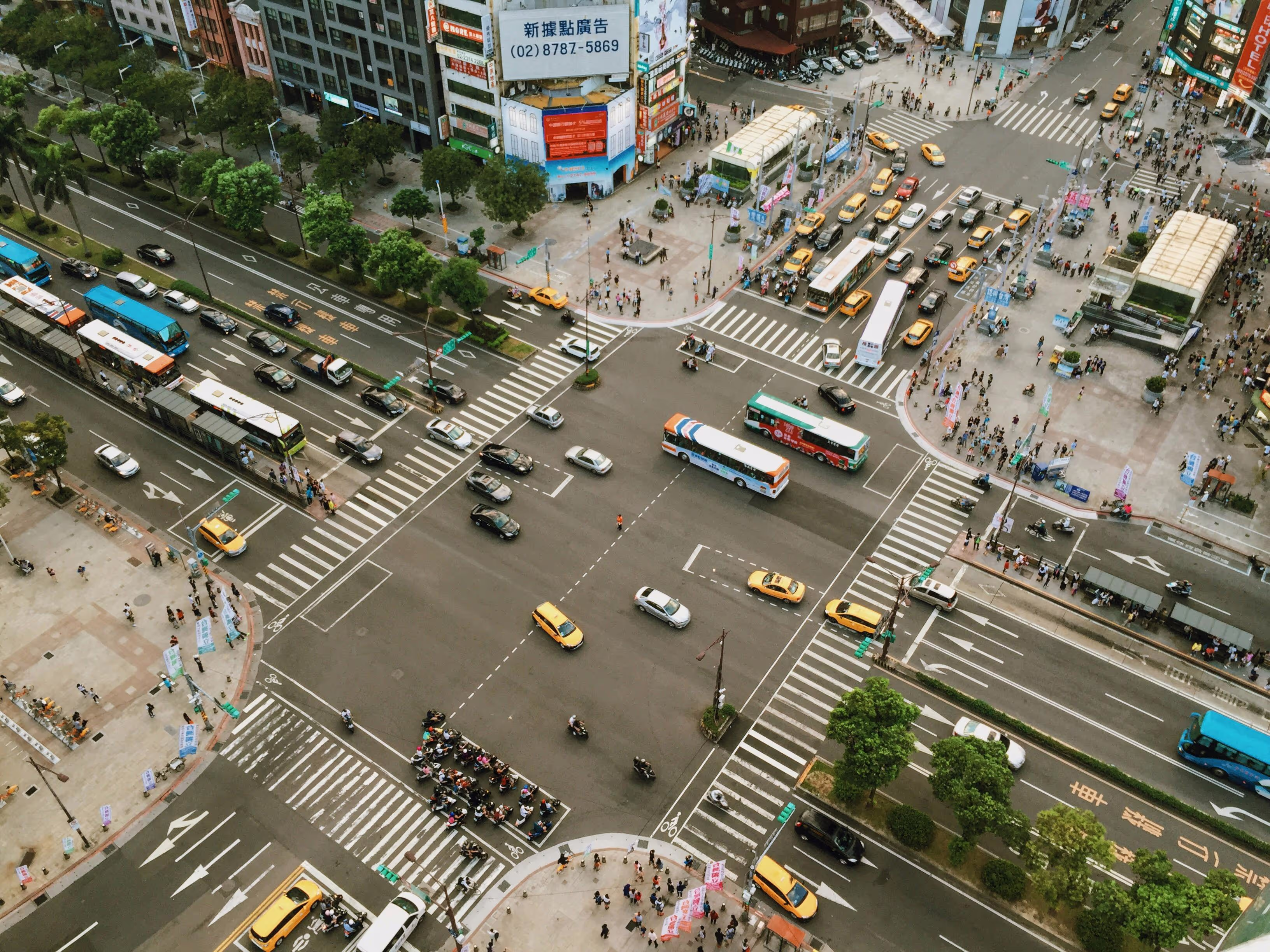
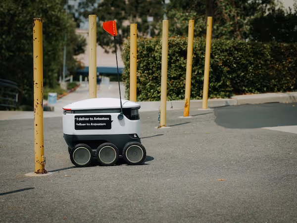
Outdoor data collection must represent changing weather, terrain and movement patterns. Scenes should include bright sunlight, strong shadows, cloudy conditions, rain, dust and snow. Outdoor robots operate across parks, roads, construction zones, farms and natural landscapes. The presence of water puddles, vegetation and irregular ground introduces complexity that models must learn. Outdoor scenes should also include pedestrians, cyclists and animals to support dynamic hazard detection.
Multi Sensor Data Collection
Robots equipped with RGB cameras, LiDAR, stereo vision or depth sensors produce rich datasets for obstacle detection. Multi sensor collection improves model robustness by combining complementary cues. UC Berkeley’s AUTOLAB highlights the importance of sensor fusion for reliable robot perception. Aligning multi sensor data ensures that annotators can label obstacles consistently across modalities. Multi sensor datasets allow models to operate effectively in low visibility or cluttered scenes.
Preprocessing Images Before Annotation
Preprocessing prepares raw sensor data for accurate and consistent annotation. Because obstacles vary widely in shape and appearance, preprocessing improves clarity and reduces visual noise. It ensures that boundaries and textures remain visible during labeling.
Normalizing Lighting
Lighting normalization reduces shadows, highlights and inconsistent exposure. Robots frequently encounter lighting variability, especially in mixed indoor conditions or outdoor scenes. Normalized lighting improves visual uniformity and allows annotators to identify obstacles more reliably. This preprocessing step also improves model generalization.
Distortion Correction
Camera distortion can alter object shapes and mislead annotators. Correcting radial distortion and aligning sensor geometry ensures that objects appear accurate and consistent. This step is essential when using wide angle or fisheye lenses, which are common in robotics. Distortion correction prevents annotation errors that degrade model training.
Depth and LiDAR Alignment
Depth and LiDAR signals must align precisely with RGB images to support multi sensor annotation. Misalignment reduces annotation accuracy and introduces inconsistencies across modalities. Preprocessing ensures that depth edges match visual boundaries and that LiDAR points correspond to correct areas in the image. Proper alignment improves dataset quality and model performance.
.svg)
Annotation Methods for Obstacle Detection
Annotation methods determine how hazards are represented in the dataset. The choice of method depends on the robot’s operational requirements and the environment’s complexity. Accurate annotation improves the robot’s ability to interpret risks and move safely.
Bounding Boxes for Obstacle Localization
Bounding boxes provide a simple but effective method for marking obstacles. They highlight the location of hazards without requiring detailed boundaries. Bounding boxes work well for dynamic obstacles because they can be applied quickly across many images. They are useful for models that prioritize speed over fine grained detail.
Semantic Segmentation for Detailed Hazard Shapes
Semantic segmentation provides pixel level boundaries that help robots understand object shapes and interaction points. Segmentation is essential when obstacle geometry influences navigation decisions. Robots that operate in tight spaces benefit from detailed segmentation masks because they provide precise spatial information. Segmentation is also vital for detecting irregular or transparent hazards.
Depth Based Labeling
Depth based labeling assigns obstacle classes directly to depth map pixels. This technique helps models interpret obstacles even when visual texture is minimal or misleading. Depth labeling supports robust operation in low light environments or scenes with reflective surfaces. It strengthens obstacle detection in challenging conditions.
Creating Annotation Guidelines
Clear annotation guidelines ensure consistent and accurate labeling across large teams. Detailed rules help annotators handle ambiguous cases, challenging surfaces and complex interactions. Guidelines improve dataset reliability and model stability.
Defining Clear Boundaries
Obstacle boundaries must be labeled consistently, especially when objects partially overlap or blend into the background. Guidelines should include visual examples that illustrate boundary distinctions. Clear rules help annotators separate objects that may appear visually similar but differ in function. Consistent boundaries improve model training.
Handling Transparent or Reflective Obstacles
Glass walls, mirrors, polished floors and transparent plastic sheets can confuse both humans and models. Guidelines must specify how to treat reflections, partial transparency and misleading visual cues. Annotators must understand how to label these surfaces without introducing errors. Robust handling of reflective surfaces improves model confidence.
Labeling Partially Visible or Moving Objects
Robots often encounter obstacles that move unpredictably or are partially visible. Guidelines must explain how to label objects that appear only partially in frame, are occluded by other objects or are blurred by motion. Consistent treatment of dynamic obstacles ensures reliable detection during deployment.
Quality Control for Obstacle Detection Datasets
Quality control ensures that annotated datasets remain accurate and consistent across environments. Because obstacle detection relates directly to robot safety, QA processes must be thorough and carefully designed.
Multi Stage Review
Multi stage reviews help detect annotation errors early by involving multiple reviewers. First stage reviewers verify class assignments, while second stage reviewers inspect boundary accuracy and shape consistency. This process reduces variability and enhances dataset reliability.
Expert Review for High Risk Scenes
Certain environments such as industrial plants, hospitals or high speed outdoor zones require expert oversight. Domain experts evaluate ambiguous or high risk areas to ensure that annotations reflect real world conditions correctly. Expert review improves dataset quality and safety readiness.
Automated Validation Tools
Automated tools detect incomplete masks, irregular bounding boxes or inconsistent labeling patterns. They help reviewers identify problematic images quickly, improving workflow efficiency. Automated checks complement manual review and scale effectively across large datasets.
Challenges in Obstacle Detection Annotation
Obstacle detection involves significant challenges due to environmental variability and complex hazard structures. Understanding these challenges helps teams reduce errors and create more resilient datasets.
Lighting and Weather Variations
Outdoor conditions introduce extreme lighting changes, weather effects and shadows that alter the appearance of obstacles. Indoor lighting can also produce reflections and glare. These variations must be represented in the dataset to ensure robustness. Annotators must identify obstacle boundaries despite visual distortions.
Cluttered or Unstructured Scenes
Cluttered spaces such as warehouses and construction sites contain irregular shapes, overlapping objects and unpredictable hazards. Unstructured outdoor scenes include vegetation, debris and uneven ground. Annotators must follow strict guidelines to label these complex elements accurately. Cluttered datasets improve model generalization.
Rapidly Moving Obstacles
Dynamic obstacles such as people, vehicles or machinery add complexity to annotation. Motion blur and partial visibility create uncertain boundaries. Datasets must include these elements to prepare robots for real world interaction. Handling motion variation improves safety and reliability.
How Obstacle Detection Supports Autonomous Robots
Obstacle detection is central to multiple layers of the autonomy stack. Annotated datasets support perception, planning and control functions that keep robots safe in dynamic environments.
Integration with Navigation Systems
Obstacle detection informs navigation systems by highlighting unsafe areas and recommending alternate routes. Robots use obstacle maps to adjust trajectory, speed and direction. Detailed annotations improve path planning reliability in both indoor and outdoor environments.
Integration with SLAM and Localization
SLAM systems require consistent obstacle detection to build accurate maps and estimate robot position. Obstacles provide landmarks that help robots interpret their surroundings. High quality dataset annotations strengthen SLAM performance and reduce localization errors.
Integration with Motion Planning and Control
Motion planning uses obstacle information to compute safe and efficient paths. Segmentation and bounding box data inform control decisions that prevent collisions. Annotated datasets help robots respond quickly to dynamic hazards. Consistent labeling improves real time control.
Supporting Your Obstacle Detection and Safety AI Projects
If you are building obstacle detection datasets or designing autonomous systems that navigate complex environments, we can help you develop high quality annotation workflows and sensor aligned labels. Our teams specialize in indoor, outdoor and multi sensor obstacle datasets that support robust perception across industrial, commercial and field robotics. If you want guidance on your next dataset, feel free to reach out anytime.