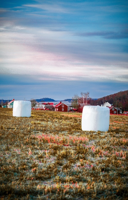
The Canadian Farming Landscape: A Prime Candidate for AI Innovation
Stretching across millions of hectares and spanning a wide range of crops—from Saskatchewan’s wheat and Alberta’s canola to British Columbia’s vineyards and Ontario’s cornfields—Canada's agricultural sector is both vast and varied. Managing such complexity requires more than traditional farming wisdom. It demands timely, precise, and localized intelligence.
This is where farm AI in Canada begins to shine. With the integration of drone crop analysis and Agriculture annotation, farmers are now equipped with a digital toolkit that can interpret geospatial data and convert it into actionable insights.
From identifying pest outbreaks to forecasting yield, AI solutions powered by annotated satellite and drone imagery are rapidly reshaping how decisions are made on Canadian farms.
Why Annotated Imagery Is the New Gold Standard
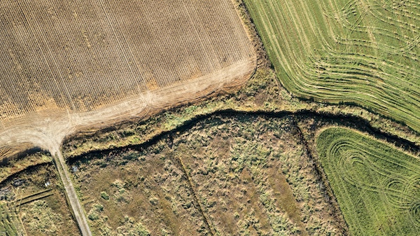
The raw images captured by drones or satellites aren’t inherently useful on their own. It's only when those images are labeled with precise, contextual information—via agriculture annotation—that they become valuable training data for AI models.
Annotation involves drawing boundaries around specific features in aerial imagery and assigning labels: a soybean plot, a weed patch, a waterlogged area, or a zone of fungal infection. This structured labeling enables AI systems to “understand” the visual input and provide targeted outputs such as:
- Fertilizer recommendations
- Yield estimates
- Irrigation mapping
- Pest and disease alerts
- Crop maturity prediction
Without these annotations, AI models would fail to distinguish between healthy crops and anomalies. That’s why Canadian agritech startups are investing heavily in high-quality labeled datasets derived from drone crop analysis and satellite feeds.
Boost your agritech models with our Agriculture Image Labeling service for crops, fields, and equipment.
Drone Crop Analysis: Local, Timely, and Extremely Detailed 🚁
One of the most powerful tools for real-time agricultural monitoring is the drone. Unlike satellites, which offer broad but lower-resolution coverage, drones fly closer to the ground and capture ultra-detailed images that can reveal subtle changes in crop health, soil texture, and plant stress.
In farm AI Canada use cases, drones are especially valuable for:
- Identifying signs of nutrient deficiency
- Detecting weed outbreaks early
- Mapping irrigation effectiveness post-rainfall
- Monitoring crop uniformity and gaps in seeding
Once the footage is captured, it’s processed using Agriculture annotation techniques to label various field conditions. These labeled images are then used to train AI models that interpret similar patterns across vast farm areas.
The result? An agile, feedback-rich farming system where every drone flight provides data-driven guidance to improve decision-making.
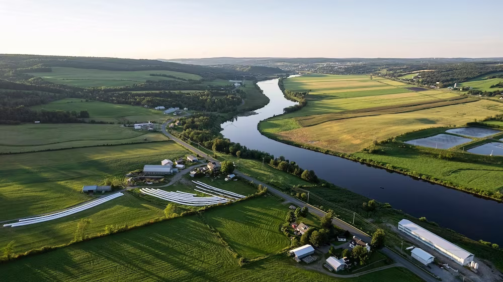
Satellite Imagery: The Macro View from Space 🛰️
While drones handle the fine-grain monitoring, satellites offer the big picture. With regular, cloud-penetrating coverage, satellites are instrumental in tracking:
- Vegetation indexes like NDVI
- Soil moisture trends
- Seasonal crop development
- Regional drought or flood risks
Farmers in Canada are now using satellite-derived data enhanced with agriculture annotation to monitor large plots over time. For example, a grower in Manitoba might combine Sentinel-2 imagery with labeled field boundaries to detect early-season variability and adjust their planting strategy accordingly.
Integrating this data into farm AI Canada solutions enables a hybrid approach—pairing macro and micro perspectives to create a holistic understanding of each field's health and potential.
Turning Annotated Imagery into Decisions That Matter
Labeled datasets don’t just train AI—they drive day-to-day decisions in modern farming operations. From variable-rate application to precision irrigation, agriculture annotation is the invisible foundation supporting every smart recommendation generated by AI systems.
Examples of real-world impact include:
- Targeted fungicide spraying: Based on drone footage annotated with signs of early mildew, AI models can trigger alerts and recommend specific zones for spraying.
- Harvest timing optimization: Using annotated phenological data, growers can predict the ideal window for maximum yield and quality.
- Automated tractor routing: Labeled terrain and crop maps can guide autonomous tractors around obstacles or through uneven growth areas.
These insights are not just technological perks—they’re direct contributors to sustainability, cost savings, and increased productivity across Canadian farms.
Use 3D Annotation to process drone flights and terrain data into precision agriculture assets and enhance your environmental monitoring through our Satellite Image Annotation workflows.
Overcoming Canada's Unique Climate and Crop Challenges
Canada’s diverse geography and challenging climate require tailored AI solutions. From snow-covered fields in Quebec to drought-prone zones in Alberta, standard agricultural datasets often fall short.
To build effective farm AI Canada systems, models must be trained on region-specific, labeled aerial imagery that reflects real field conditions—snow, frost damage, variable sunlight, and all.
By investing in localized agriculture annotation, agritech innovators are building more robust AI systems that understand:
- Crop stress under late-spring frost
- Yield loss from hail damage
- Variable growth stages across different time zones
- Effects of smoke and air quality from wildfires
This adaptability ensures AI recommendations are grounded in real-world conditions, not generic assumptions.
The Role of Canadian Agritech Startups
Canada’s booming agritech ecosystem is leading the way in integrating drone crop analysis and agriculture annotation into farm operations. Companies like:
- SkyWatch – Offers Earth observation APIs for agricultural analysis.
- Deveron – Specializes in drone analytics for crop insights.
- Lucent Bio – Uses AI to optimize nutrient delivery based on geospatial imagery.
- Croptracker – Builds traceability and compliance tools powered by aerial datasets.
These companies aren’t just tech providers—they’re transforming the Canadian agricultural landscape by helping farmers scale their operations intelligently.
Many of them collect and label their own datasets, creating proprietary agriculture annotation pipelines that increase model precision and product value.
Government Support and Open Data Initiatives
To support innovation, Canadian institutions are making agricultural data more accessible. Platforms like the Open Government Portal offer free datasets, some of which include labeled satellite imagery for agricultural research.
In parallel, the Canadian Space Agency and Agriculture and Agri-Food Canada continue to fund projects exploring:
- Annotated satellite data for yield forecasting
- Soil health mapping using hyperspectral drones
- AI models trained on localized imagery for disease detection
These public-private efforts aim to reduce barriers for startups while accelerating the development of high-impact farm AI Canada solutions.
Building Stronger AI Models with Collaborative Annotation
High-quality annotation depends not only on technology but also on human expertise. Leading Canadian initiatives bring together:
- Farmers who understand what plant stress looks like
- Agronomists who design consistent labeling protocols
- Data annotators who tag imagery with precision
- AI engineers who feed this data into models
This collaborative model ensures that agriculture annotation remains relevant, consistent, and scalable across use cases. It's also key to training models that respect Canada’s linguistic and cultural diversity—especially in bilingual provinces where agricultural communication spans French and English.
Use Cases Growing Across Sectors
While most use cases focus on traditional crop farming, the benefits of drone and satellite imagery extend to:
- Viticulture: Annotating grapevine rows for disease risk and growth tracking
- Forestry: Mapping tree species and biomass via drone crop analysis
- Livestock grazing: Monitoring pasture health through annotated satellite visuals
- Organic farming: Detecting buffer zone breaches through aerial surveillance
In all these examples, farm AI in Canada is being applied beyond row crops to support sustainability, traceability, and production planning.
What the Future Holds for AI in Canadian Agriculture 🚀
The next five years will be defined by automation, integration, and scale. Expect to see:
- Onboard drone AI that uses annotated visual libraries to detect pests mid-flight
- Automated input decisions based on cross-referenced satellite and weather data
- Predictive alerts that warn farmers weeks in advance of yield-impacting trends
- Label-sharing frameworks where farmers and researchers co-build annotated datasets
- Expanded ESG tracking using AI to quantify sustainability efforts field by field
As these innovations emerge, annotation will remain a critical layer—quietly turning raw pixels into precision decisions.
Ready to Turn Pixels into Profits? Let’s Collaborate 🌿
Whether you’re a grower, agtech founder, or research lead, your next big leap in farming productivity starts with better data. And that begins with thoughtful, accurate agriculture annotation and scalable drone crop analysis.
📩 Interested in boosting yield, building custom AI models, or labeling aerial imagery for Canadian farmland?
Let’s transform your data into action. Because the future of farm AI in Canada starts with how we see the land—literally.